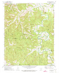
1972 Map of Rockhouse
USGS Topo · Published 1973About this map
Eureka Springs and the surrounding Ozark landscape are captured here in the early 1970s, revealing a region defined by steep hollows and high ridges. The Kings River meanders through the eastern half of the map, creating dramatic landforms like Mason Bend and Flower Pot Point. This era shows the established presence of the Mc Ilroy State Game Management Area, which occupies much of the southern terrain across the Carroll and Madison County line.
Find a feature on this map
47 named features on this map. Tap any name to fly to it.
Don’t see what you’re looking for? This feature index may not catch every label — zoom into the map to look around manually.
Map Details
Editions of this 1972 Rockhouse Map
3 editions found
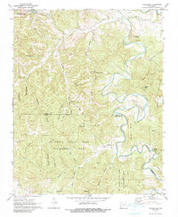
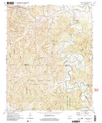
Other maps of this area

1900 · Eureka Springs
USGS Topo · 1:125,000

1901 · Eureka Springs
USGS Topo · 1:125,000

1945 · Harrison
USGS Topo · 1:250,000

1949 · Harrison
USGS Topo · 1:250,000

1954 · Harrison
USGS Topo · 1:250,000

1957 · Mundell
USGS Topo · 1:24,000
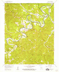
1957 · Beaver
USGS Topo · 1:24,000

1958 · Hindsville
USGS Topo · 1:24,000

1958 · Harrison
USGS Topo · 1:250,000

1964 · Harrison
USGS Topo · 1:250,000