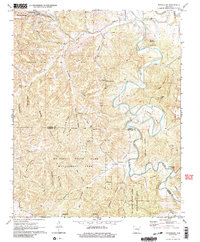
1972 Map of Rockhouse
USGS Topo · Published 1991About this map
The Kings River carves a winding path through the heart of this Arkansas landscape, creating dramatic features like Mason Bend and Flower Pot Point along its course. This terrain is defined by a dense network of hollows and ridges, including Turkey Wing Ridge Hollow and Hollingsworth Hollow, which historically dictated the pattern of travel and settlement. Large portions of the southern and central sections are dedicated to the Mc Ilroy State Game Management Area, illustrating a transition from early homesteading toward state-managed conservation. Rural life is anchored by small communities such as Winona Springs and the eponymous Rockhouse, with local landmarks like the Winona Springs Ch and the Shady Grove Cem serving as vital touchstones for family history and genealogical research in this portion of the Ozarks.
Find a feature on this map
42 named features on this map. Tap any name to fly to it.
Don’t see what you’re looking for? This feature index may not catch every label — zoom into the map to look around manually.
Map Details
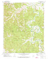
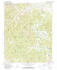
Editions of this 1972 Rockhouse Map
3 editions found
Other maps of this area

1900 · Eureka Springs
USGS Topo · 1:125,000

1901 · Eureka Springs
USGS Topo · 1:125,000

1945 · Harrison
USGS Topo · 1:250,000

1949 · Harrison
USGS Topo · 1:250,000

1954 · Harrison
USGS Topo · 1:250,000

1957 · Mundell
USGS Topo · 1:24,000
1957 · Beaver
USGS Topo · 1:24,000

1958 · Hindsville
USGS Topo · 1:24,000

1958 · Harrison
USGS Topo · 1:250,000

1964 · Harrison
USGS Topo · 1:250,000