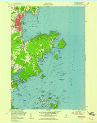
1955 Map of Rockland
USGS Topo · Published 1959About this map
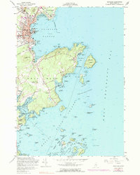
The bustling maritime hub of Rockland and the peninsula of Owls Head dominate this mid-century coastal survey. In the city, the grid of streets like Broadway and Park ST meets the working waterfront of Rockland Harbor, where a U S Coast Guard Sta and numerous wharves overlook the deep waters of Penobscot Bay. The landscape transitions from the industrial activity of the local Quarry and Rockland Municipal Airport to the scattered settlements of Ingraham and South Thomaston. Further south, the map details the intricate shoreline of the Weskeag River and the numerous small landforms of the Muscle Ridge Islands, including High Island and Dix Island Harbor. For genealogists, the inclusion of multiple burial grounds such as Achorn Cem, Seaview Cem, and Farnsworth Cem provides specific points for family history research within the Knox County landscape.
Find a feature on this map
77 named features on this map. Tap any name to fly to it.
Don’t see what you’re looking for? This feature index may not catch every label — zoom into the map to look around manually.
Map Details
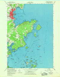
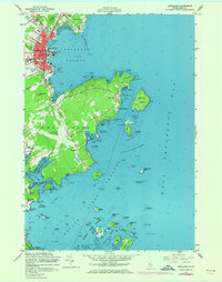
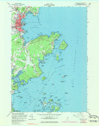
Editions of this 1955 Rockland Map
5 editions found
Other maps of this area

1904 · Vinalhaven
USGS Topo · 1:62,500

1904 · Tenants Harbor
USGS Topo · 1:62,500

1904 · Rockland
USGS Topo · 1:62,500

1905 · Penobscot Bay
USGS Topo · 1:125,000

1906 · Matinicus
USGS Topo · 1:62,500

1906 · Tennant Harbor
USGS Topo · 1:62,500

1906 · Rockland
USGS Topo · 1:62,500

1941 · Rockland
USGS Topo · 1:62,500

1941 · Vinalhaven
USGS Topo · 1:62,500

1944 · Vinalhaven
USGS Topo · 1:62,500