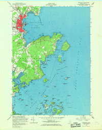
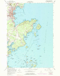
1955 Map of Rockland
USGS Topo · Published 1969About this map
Rockland serves as the focal point of this mid-century coastal survey, showing the city's dense street grid and industrial waterfront before extensive modern redevelopment. The harbor is guarded by the iconic Rockland Harbor Breakwater Light, while the Maine Central RR tracks line the coast, serving the local economy. To the south, the peninsula of Owls Head is defined by its namesake light and the growing Rockland Municipal Airport.
Find a feature on this map
71 named features on this map. Tap any name to fly to it.
Don’t see what you’re looking for? This feature index may not catch every label — zoom into the map to look around manually.
Map Details
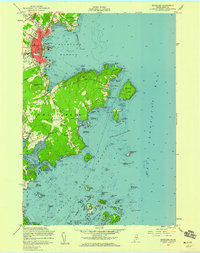
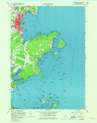
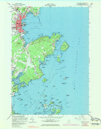
Editions of this 1955 Rockland Map
5 editions found
Other maps of this area

1904 · Vinalhaven
USGS Topo · 1:62,500

1904 · Tenants Harbor
USGS Topo · 1:62,500

1904 · Rockland
USGS Topo · 1:62,500

1905 · Penobscot Bay
USGS Topo · 1:125,000

1906 · Matinicus
USGS Topo · 1:62,500

1906 · Tennant Harbor
USGS Topo · 1:62,500

1906 · Rockland
USGS Topo · 1:62,500

1941 · Rockland
USGS Topo · 1:62,500

1941 · Vinalhaven
USGS Topo · 1:62,500

1944 · Vinalhaven
USGS Topo · 1:62,500