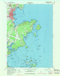
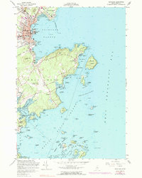
1955 Map of Rockland
USGS Topo · Published 1983About this map
Rockland serves as the industrious heart of this coastal Maine survey, where the harbor's maritime infrastructure meets the inland stone industry. The map reveals the layout of the city during the mid-1950s, including the extensive Breakwater protecting Rockland Harbor and the Quarry sites that define the local economy. Beyond the urban core, the landscape transitions into the distinctive peninsulas and islands of Owls Head and South Thomaston. Notable family and historical sites include Rockland Cem, Achorn Cem, and Farnsworth Cem, while the Knox County Regional Airport marks the era's expanding transportation network. The intricate coastline is detailed from the Weskeag River to the Muscle Ridge Channel, showing numerous ledges and islands such as Monroe Island and Ash Island that have long challenged local mariners.
Find a feature on this map
121 named features on this map. Tap any name to fly to it.
Don’t see what you’re looking for? This feature index may not catch every label — zoom into the map to look around manually.
Map Details
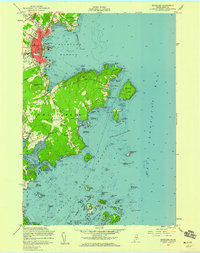
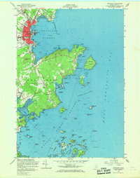
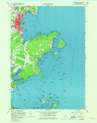
Editions of this 1955 Rockland Map
5 editions found
Other maps of this area

1904 · Vinalhaven
USGS Topo · 1:62,500

1904 · Tenants Harbor
USGS Topo · 1:62,500

1904 · Rockland
USGS Topo · 1:62,500

1905 · Penobscot Bay
USGS Topo · 1:125,000

1906 · Matinicus
USGS Topo · 1:62,500

1906 · Tennant Harbor
USGS Topo · 1:62,500

1906 · Rockland
USGS Topo · 1:62,500

1941 · Rockland
USGS Topo · 1:62,500

1941 · Vinalhaven
USGS Topo · 1:62,500

1944 · Vinalhaven
USGS Topo · 1:62,500