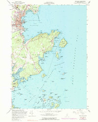
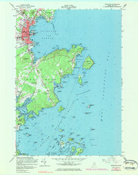
1955 Map of Rockland
USGS Topo · Published 1983About this map
Rockland sits at the heart of this coastal survey, where the Maine Central RR and streets like Maverick St and Park St define the mid-century city layout. The maritime character of the region is evident in the transition from the busy Rockland Harbor to the more tranquil reaches of Owls Head and the many islands dotting the Muscle Ridge Channel.
Find a feature on this map
86 named features on this map. Tap any name to fly to it.
Don’t see what you’re looking for? This feature index may not catch every label — zoom into the map to look around manually.
Map Details
Editions of this 1955 Rockland Map
5 editions found
Other maps of this area

1904 · Vinalhaven
USGS Topo · 1:62,500

1904 · Tenants Harbor
USGS Topo · 1:62,500

1904 · Rockland
USGS Topo · 1:62,500

1905 · Penobscot Bay
USGS Topo · 1:125,000

1906 · Matinicus
USGS Topo · 1:62,500

1906 · Tennant Harbor
USGS Topo · 1:62,500

1906 · Rockland
USGS Topo · 1:62,500

1941 · Rockland
USGS Topo · 1:62,500

1941 · Vinalhaven
USGS Topo · 1:62,500

1944 · Vinalhaven
USGS Topo · 1:62,500