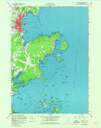
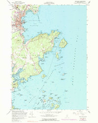
1955 Map of Rockland
USGS Topo · Published 1974About this map
The coastal town of Rockland and its seafaring outskirts are depicted during the mid-20th century, a time when the harbor remained a vital hub for maritime activity and commerce. The shoreline is punctuated by working waterfront features such as Lermond Cove and Atlantic Point, while the interior shows the developed street grid of the city, including residential corridors like Maverick St and Park St. This 1973 photorevision highlights the growth of the Knox County Regional Airport and changes to local infrastructure, while maintaining the archival record of family-named landmarks and cemeteries like Achorn Cem and Farnsworth Cem.
Find a feature on this map
79 named features on this map. Tap any name to fly to it.
Don’t see what you’re looking for? This feature index may not catch every label — zoom into the map to look around manually.
Map Details
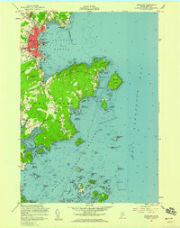
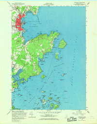
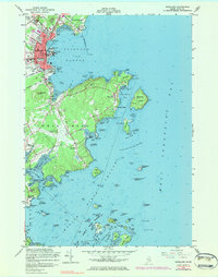
Editions of this 1955 Rockland Map
5 editions found
Other maps of this area

1904 · Vinalhaven
USGS Topo · 1:62,500

1904 · Tenants Harbor
USGS Topo · 1:62,500

1904 · Rockland
USGS Topo · 1:62,500

1905 · Penobscot Bay
USGS Topo · 1:125,000

1906 · Matinicus
USGS Topo · 1:62,500

1906 · Tennant Harbor
USGS Topo · 1:62,500

1906 · Rockland
USGS Topo · 1:62,500

1941 · Rockland
USGS Topo · 1:62,500

1941 · Vinalhaven
USGS Topo · 1:62,500

1944 · Vinalhaven
USGS Topo · 1:62,500