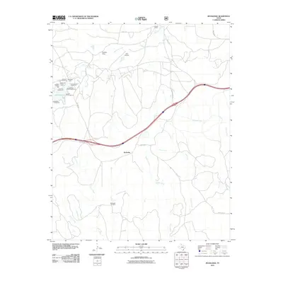
2010 Map of Rockledge
USGS Topo · Published 2010About this map
Rockledge serves as the central point in this rural Texas landscape, where the flat plains are broken by the intricate drainage systems of McClellan Creek and Barton Creek. The northwestern corner of the sheet is dominated by recreational development centered on Lake McClellan, featuring an array of sites including the McDowell Campground, Southside Campground, and the McClellan Picnic Area. The construction of McClellan Dam and the smaller Matthews Lake Dam further south illustrates the importance of water management and storage in this arid environment.
Find a feature on this map
31 named features on this map. Tap any name to fly to it.
Don’t see what you’re looking for? This feature index may not catch every label — zoom into the map to look around manually.
Map Details
Editions of this 2010 Rockledge Map
This is the sole edition of this map. No revisions or reprints were ever made.
Other maps of this area

1954 · Amarillo
USGS Topo · 1:250,000

1958 · Amarillo
USGS Topo · 1:250,000

1959 · Troublesome Creek
USGS Topo · 1:24,000

1962 · Roach Ranch
USGS Topo · 1:24,000

1962 · Griffin Ranch
USGS Topo · 1:24,000

1962 · Hudgens Ranch
USGS Topo · 1:24,000

1963 · Alanreed
USGS Topo · 1:24,000

1964 · Jericho
USGS Topo · 1:24,000

1964 · Rockledge
USGS Topo · 1:24,000

1968 · Taylor Ranch
USGS Topo · 1:24,000