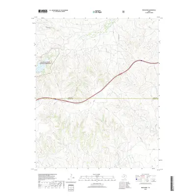
2019 Map of Rockledge
USGS Topo · Published 2019About this map
McClellan Creek National Grassland dominates the northwestern portion of this 2019 survey, protecting a landscape of drainages and rolling terrain along the Gray and Donley county line. The map reveals a dense network of seasonal watercourses that define the local geography, including McClellan Creek, Tibbetts Draw, and Jack Canyon. These landforms dictate the placement of rural infrastructure such as Johnson Ranch Rd and various county roads that navigate the complex topography.
Find a feature on this map
27 named features on this map. Tap any name to fly to it.
Don’t see what you’re looking for? This feature index may not catch every label — zoom into the map to look around manually.
Map Details
Editions of this 2019 Rockledge Map
This is the sole edition of this map. No revisions or reprints were ever made.
Other maps of this area

1954 · Amarillo
USGS Topo · 1:250,000

1958 · Amarillo
USGS Topo · 1:250,000

1959 · Troublesome Creek
USGS Topo · 1:24,000

1962 · Roach Ranch
USGS Topo · 1:24,000

1962 · Griffin Ranch
USGS Topo · 1:24,000

1962 · Hudgens Ranch
USGS Topo · 1:24,000

1963 · Alanreed
USGS Topo · 1:24,000

1964 · Jericho
USGS Topo · 1:24,000

1964 · Rockledge
USGS Topo · 1:24,000

1968 · Taylor Ranch
USGS Topo · 1:24,000