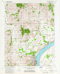
1964 Map of Rockport
USGS Topo · Published 1966About this map
The Ohio River shoreline anchors this mid-century survey of Rockport, where the river’s sweeping curve meets a landscape defined by industry and memory. Near the riverbanks, the Lincoln Pioneer Village and City Park stand as cultural landmarks within the settlement, while the Southern railroad line cuts through the terrain, connecting the river traffic to the interior. The rural landscape north of town is heavily dotted with family and church cemeteries, such as Pinkston Cem, Zeer Cem, and Hackleman Cem, providing significant data for genealogical research in Grass and Ohio townships.
Find a feature on this map
42 named features on this map. Tap any name to fly to it.
Don’t see what you’re looking for? This feature index may not catch every label — zoom into the map to look around manually.
Map Details
Editions of this 1964 Rockport Map
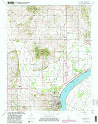
2 editions found
Other maps of this area

1900 · St Meinrad
USGS Topo · 1:62,500

1900 · De Gonia Springs
USGS Topo · 1:62,500

1901 · Owensboro
USGS Topo · 1:62,500

1902 · Ditney
USGS Topo · 1:125,000

1902 · Degonia Springs
USGS Topo · 1:62,500

1903 · St. Meinrad
USGS Topo · 1:62,500

1903 · Tell City
USGS Topo · 1:62,500

1952 · Owensboro East
USGS Topo · 1:24,000

1952 · Rockport
USGS Topo · 1:24,000

1952 · Owensboro West
USGS Topo · 1:24,000