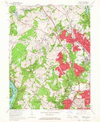
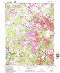
1965 Map of Rockville
USGS Topo · Published 1966About this map
Rockville serves as the bustling centerpiece of this mid-1960s suburban landscape, showing the rapid conversion of Montgomery County farmland into residential developments. The city core is anchored by the Courthouse, Post Office, and a dense cluster of schools and churches including Zion Ch and St Marys Ch. Extending outward, a massive wave of post-war subdivisions like Regency Estates, Montgomery Square, and Willerburn Acres has begun to fill the spaces between historic road corridors.
Find a feature on this map
143 named features on this map. Tap any name to fly to it.
Don’t see what you’re looking for? This feature index may not catch every label — zoom into the map to look around manually.
Map Details
Editions of this 1965 Rockville Map
5 editions found
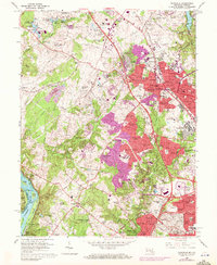
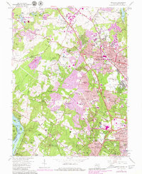
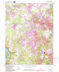
Other maps of this area

1890 · Mt. Vernon
USGS Topo · 1:125,000

1891 · Mt. Vernon
USGS Topo · 1:125,000

1893 · Frederick
USGS Topo · 1:125,000

1894 · Frederick
USGS Topo · 1:125,000

1894 · Mt. Vernon
USGS Topo · 1:125,000

1897 · Mt. Vernon
USGS Topo · 1:125,000

1900 · Washington
USGS Topo · 1:62,500

1908 · Rockville
USGS Topo · 1:62,500

1908 · Seneca
USGS Topo · 1:62,500

1915 · Fairfax
USGS Topo · 1:62,500