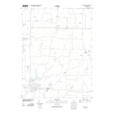
2010 Map of Rockville
USGS Topo · Published 2010About this map
Rockville serves as the focal point for this western Indiana landscape, situated where the waters of Williams Creek meet the recreational expanse of Rockville Lake. The area is characterized by a dense network of family and community history, evidenced by numerous burial grounds such as Rawlings Cemetery, Poplar Cemetery, and Memory Garden Cemetery. To the north and east, smaller settlements like Marshall, Bethany, and Nyesville are connected by a grid of county roads that navigate the drainage basins of Roaring Creek and Little Raccoon Creek.
Find a feature on this map
74 named features on this map. Tap any name to fly to it.
Don’t see what you’re looking for? This feature index may not catch every label — zoom into the map to look around manually.
Map Details
Editions of this 2010 Rockville Map
This is the sole edition of this map. No revisions or reprints were ever made.
Other maps of this area

1948 · Wallace
USGS Topo · 1:24,000

1949 · Alamo
USGS Topo · 1:24,000

1951 · Mecca
USGS Topo · 1:24,000

1951 · Mansfield
USGS Topo · 1:24,000

1952 · Catlin
USGS Topo · 1:24,000

1953 · Indianapolis
USGS Topo · 1:250,000

1955 · Rockville
USGS Topo · 1:24,000

1955 · Kingman
USGS Topo · 1:24,000

1955 · Montezuma
USGS Topo · 1:24,000

1956 · Indianapolis
USGS Topo · 1:250,000