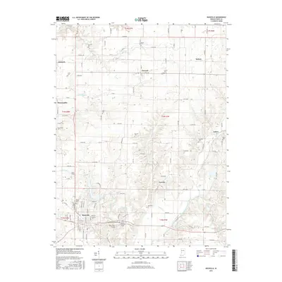
2016 Map of Rockville
USGS Topo · Published 2016About this map
Rockville and the surrounding townships in Parke County are defined by a network of creeks and several notable historic crossings. The southern portion of this area features a concentration of traditional structures, including the Beeson Covered Bridge, Billie Creek Bridge, and the Leatherwood Station Bridge, which provide insight into the preservation of mid-19th-century engineering in Indiana. The landscape is primarily agricultural and residential, with the terrain carved by Little Raccoon Creek, Leatherwood Cr, and Sand Cr. Smaller villages such as Annapolis, Bloomingdale, and Marshall dot the northern sections, each often accompanied by family or community burial grounds like Rawlings Cem and Poplar Cem. The central region is largely open space, punctuated by Nyesville and the waters of Lakeview Estates Lake, illustrating a transition from early settlement patterns to modern rural developments.
Find a feature on this map
98 named features on this map. Tap any name to fly to it.
Don’t see what you’re looking for? This feature index may not catch every label — zoom into the map to look around manually.
Map Details
Editions of this 2016 Rockville Map
This is the sole edition of this map. No revisions or reprints were ever made.
Other maps of this area

1948 · Wallace
USGS Topo · 1:24,000

1949 · Alamo
USGS Topo · 1:24,000

1951 · Mecca
USGS Topo · 1:24,000

1951 · Mansfield
USGS Topo · 1:24,000

1952 · Catlin
USGS Topo · 1:24,000

1953 · Indianapolis
USGS Topo · 1:250,000

1955 · Rockville
USGS Topo · 1:24,000

1955 · Kingman
USGS Topo · 1:24,000

1955 · Montezuma
USGS Topo · 1:24,000

1956 · Indianapolis
USGS Topo · 1:250,000