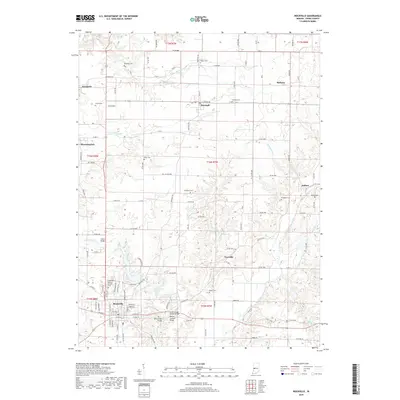
2019 Map of Rockville
USGS Topo · Published 2019About this map
Rockville serves as the focal point of this Parke County survey, anchoring a region known for its heritage of structural engineering. Several significant historical crossings are documented here, including the Catlin Bridge, Billie Creek Bridge, Leatherwood Station Bridge, and the Beeson Covered Bridge. These landmarks highlight the area's preservation of transit history along waterways like Little Raccoon Creek and Bill Diddle Cr.
Find a feature on this map
110 named features on this map. Tap any name to fly to it.
Don’t see what you’re looking for? This feature index may not catch every label — zoom into the map to look around manually.
Map Details
Editions of this 2019 Rockville Map
This is the sole edition of this map. No revisions or reprints were ever made.
Other maps of this area

1948 · Wallace
USGS Topo · 1:24,000

1949 · Alamo
USGS Topo · 1:24,000

1951 · Mecca
USGS Topo · 1:24,000

1951 · Mansfield
USGS Topo · 1:24,000

1952 · Catlin
USGS Topo · 1:24,000

1953 · Indianapolis
USGS Topo · 1:250,000

1955 · Rockville
USGS Topo · 1:24,000

1955 · Kingman
USGS Topo · 1:24,000

1955 · Montezuma
USGS Topo · 1:24,000

1956 · Indianapolis
USGS Topo · 1:250,000