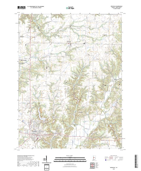
2022 Map of Rockville
USGS Topo · Published 2022About this map
The Parke County Courthouse anchors the town of Rockville, serving as a central landmark for this section of western Indiana. The landscape is defined by a series of small, established settlements including Bloomingdale, Marshall, Judson, and Bethany. These communities are connected by a network of rural roads such as Annapolis Rd and Nyesville Rd, which traverse a terrain carved by numerous waterways like Roaring Creek, Leatherwood Creek, and Little Raccoon Creek.
Find a feature on this map
73 named features on this map. Tap any name to fly to it.
Don’t see what you’re looking for? This feature index may not catch every label — zoom into the map to look around manually.
Map Details
Editions of this 2022 Rockville Map
This is the sole edition of this map. No revisions or reprints were ever made.
Other maps of this area

1948 · Wallace
USGS Topo · 1:24,000

1949 · Alamo
USGS Topo · 1:24,000

1951 · Mecca
USGS Topo · 1:24,000

1951 · Mansfield
USGS Topo · 1:24,000

1952 · Catlin
USGS Topo · 1:24,000

1953 · Indianapolis
USGS Topo · 1:250,000

1955 · Rockville
USGS Topo · 1:24,000

1955 · Kingman
USGS Topo · 1:24,000

1955 · Montezuma
USGS Topo · 1:24,000

1956 · Indianapolis
USGS Topo · 1:250,000