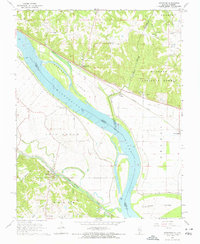
1968 Map of Rockwood
USGS Topo · Published 1970About this map
Rockwood sits at a narrow point along the Mississippi River, where the Missouri Pacific railroad tracks hug the riverbank beneath the bluffs of the Shawnee National Forest. This 1968 study documents the complex river geography of the era, defined by a massive Levee system protecting the lowlands of Bois Brule and Salem. The map shows a landscape transitioning from the forested hills of Degognia to the fertile bottomlands where the St Louis-San Francisco railway serves the community of Menfro. Numerous family-named burial grounds like Tindall Cem and Woods Cem are scattered across the terrain, reflecting the long-standing rural settlement patterns. Local landmarks such as the Crosstown Sch and Ebenezer Ch provide key touchpoints for genealogists tracking the small communities of Cora, Point Rest, and Jones Ridge.
Find a feature on this map
43 named features on this map. Tap any name to fly to it.
Don’t see what you’re looking for? This feature index may not catch every label — zoom into the map to look around manually.
Map Details
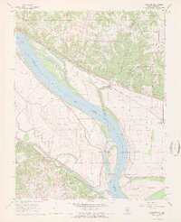
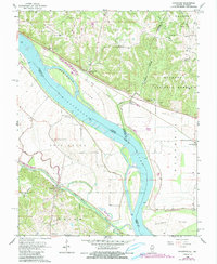
Editions of this 1968 Rockwood Map
3 editions found
Other maps of this area

1915 · Chester
USGS Topo · 1:62,500

1916 · Campbell Hill
USGS Topo · 1:62,500

1918 · Altenburg
USGS Topo · 1:62,500

1918 · Campbell Hill
USGS Topo · 1:62,500

1923 · Perryville
USGS Topo · 1:62,500

1924 · Perryville
USGS Topo · 1:62,500

1925 · Altenburg
USGS Topo · 1:62,500

1947 · Chester
USGS Topo · 1:62,500

1947 · Crosstown
USGS Topo · 1:24,000

1947 · Altenburg
USGS Topo · 1:62,500