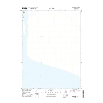
2014 Map of Rockwood OE E
USGS Topo · Published 2014About this map
Lake Erie dominates the southern reaches of this 2014 geographic study, capturing a vital section of the Great Lakes maritime frontier. The map centers on the international waters where the Usa and Canada meet, a boundary that has shaped the geopolitical and economic history of the region for centuries. Unlike many topographic sheets, this particular edition focuses heavily on the hydrography and the precise alignment of the international border across open water. The absence of land-based infrastructure or detailed coastal features within this specific frame highlights the navigational importance of the lake itself, providing researchers with a clear look at the water-based boundary as it was officially recognized in the early 21st century.
Find a feature on this map
2 named features on this map. Tap any name to fly to it.
Don’t see what you’re looking for? This feature index may not catch every label — zoom into the map to look around manually.
Map Details
Editions of this 2014 Rockwood OE E Map
This is the sole edition of this map. No revisions or reprints were ever made.
Other maps of this area

1906 · Wyandotte
USGS Topo · 1:62,500

1912 · Wyandotte
USGS Topo · 1:62,500

1929 · Wyandotte
USGS Topo · 1:62,500

1936 · Wyandotte
USGS Topo · 1:31,680

1936 · Rockwood
USGS Topo · 1:31,680
1942 · Rockwood
USGS Topo · 1:24,000
1942 · Estral Beach
USGS Topo · 1:24,000
1942 · Wyandotte
USGS Topo · 1:24,000
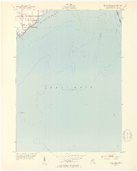
1952 · Estral Beach
USGS Topo · 1:24,000
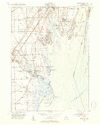
1952 · Rockwood
USGS Topo · 1:24,000