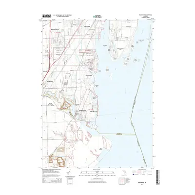
1942 Map of Rockwood
USGS Topo · Published 1942About this map
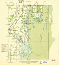
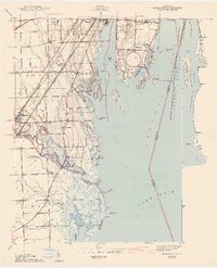
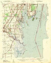
State Highway Commissioner G. Donald Kennedy provided data for this early 1940s survey of the Downriver region, where the Huron River meets the western edge of Lake Erie. The landscape is defined by its complex waterway system, featuring the engineered Trenton Channel and Livingstone Channel that facilitate heavy shipping traffic past Grosse Ile. On land, the transition from industrial centers like Trenton to the marshy coastal reaches of Point Mouille is evident. Local life in Rockwood and Gibraltar is captured through the presence of numerous rural schoolhouses, including South Road Sch and the Point Mouille Sch. The map also details the dense rail infrastructure supporting the area's growth, with the Michigan Central and Detroit and Toledo Shore Line running parallel to the shoreline.
Find a feature on this map
81 named features on this map. Tap any name to fly to it.
Don’t see what you’re looking for? This feature index may not catch every label — zoom into the map to look around manually.
Map Details
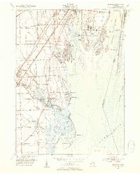
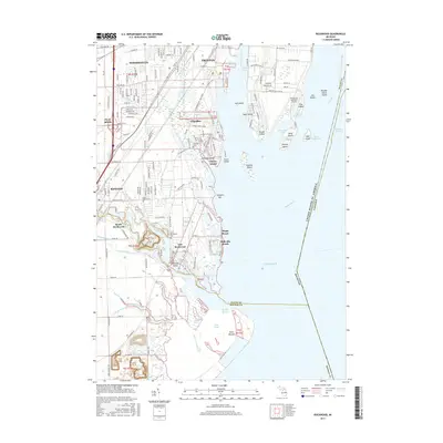
Editions of this 1942 Rockwood Map
2 editions found
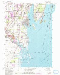
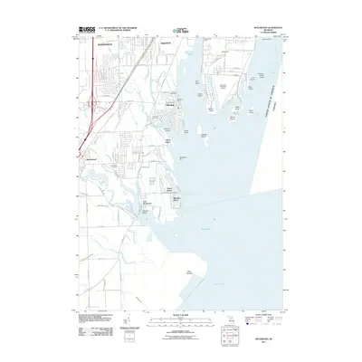
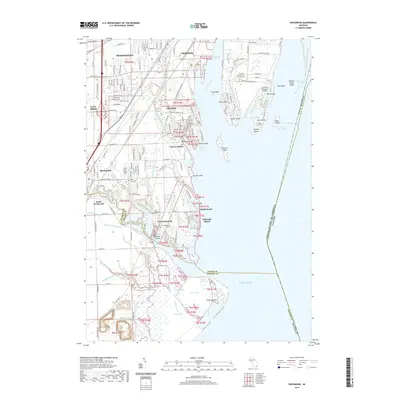
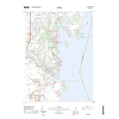
Historical Maps of Brownstown Charter Township Through Time
9 maps found