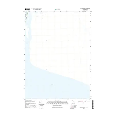
2017 Map of Rockwood OE E
USGS Topo · Published 2017About this map
The international waters of Lake Erie and the engineered depths of the Livingstone Channel define this 2017 survey at the edge of the maritime border. This sheet focuses heavily on the aquatic geography where the Detroit River transitions into the open lake, marking the precise boundary line between the USA and Canada. On the American side, the boundary of Michigan and Wayne County is documented as it interacts with these vital shipping lanes. This map provides a clear record of the modern hydrography and navigational boundaries of the Great Lakes system, capturing the sparse but critical topographical details of the coastline and the maintained channels essential for commercial transit in the 21st century.
Find a feature on this map
4 named features on this map. Tap any name to fly to it.
Don’t see what you’re looking for? This feature index may not catch every label — zoom into the map to look around manually.
Map Details
Editions of this 2017 Rockwood OE E Map
This is the sole edition of this map. No revisions or reprints were ever made.
Other maps of this area

1906 · Wyandotte
USGS Topo · 1:62,500

1912 · Wyandotte
USGS Topo · 1:62,500

1929 · Wyandotte
USGS Topo · 1:62,500

1936 · Wyandotte
USGS Topo · 1:31,680

1936 · Rockwood
USGS Topo · 1:31,680
1942 · Rockwood
USGS Topo · 1:24,000
1942 · Estral Beach
USGS Topo · 1:24,000
1942 · Wyandotte
USGS Topo · 1:24,000
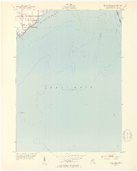
1952 · Estral Beach
USGS Topo · 1:24,000
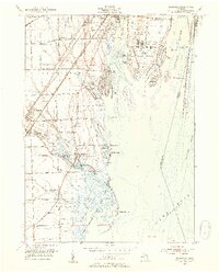
1952 · Rockwood
USGS Topo · 1:24,000