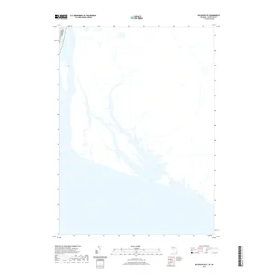
2019 Map of Rockwood OE E
USGS Topo · Published 2019About this map
The international maritime boundary between the Usa and Canada dominates the western edge of this 2019 survey, tracing through the open waters of Lake Erie. This map depicts a significant stretch of the Great Lakes shoreline where the terrestrial landscape transitions into a complex network of coastal wetlands and inlets. The hydrography reflects a modern era of coastal monitoring by the U.S. Geological Survey, showing the intricate shoreline patterns and water depths vital for navigating the border region. The minimal development shown in this particular quadrangle highlights the preserved natural state of the marshlands and littoral zones that define this part of the Lake Erie basin, offering a specialized look at the aqueous borderland between Michigan and Ontario.
Find a feature on this map
1 named feature on this map. Tap any name to fly to it.
Don’t see what you’re looking for? This feature index may not catch every label — zoom into the map to look around manually.
Map Details
Editions of this 2019 Rockwood OE E Map
This is the sole edition of this map. No revisions or reprints were ever made.
Other maps of this area

1906 · Wyandotte
USGS Topo · 1:62,500

1912 · Wyandotte
USGS Topo · 1:62,500

1929 · Wyandotte
USGS Topo · 1:62,500

1936 · Wyandotte
USGS Topo · 1:31,680

1936 · Rockwood
USGS Topo · 1:31,680
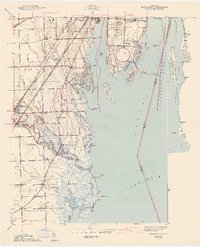
1942 · Rockwood
USGS Topo · 1:24,000
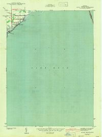
1942 · Estral Beach
USGS Topo · 1:24,000
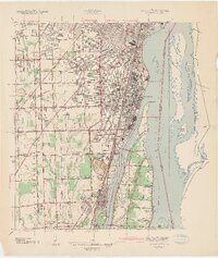
1942 · Wyandotte
USGS Topo · 1:24,000
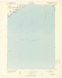
1952 · Estral Beach
USGS Topo · 1:24,000
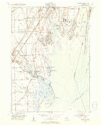
1952 · Rockwood
USGS Topo · 1:24,000