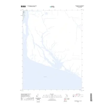
2023 Map of Rockwood OE E
USGS Topo · Published 2023About this map
Lake Erie defines the southern extent of this coastal survey, where the Michigan shoreline meets the northern waters of the Great Lakes. The map documents a landscape heavily influenced by its proximity to the international border, tracing the waters of International Lake at the northwestern edge of the sheet. Inland, the hydrology is shaped by the winding path of Big Creek, which drains through a complex network of wetlands and channels before reaching the coast. This contemporary study by the U.S. Geological Survey preserves the modern arrangement of boundaries and water features, including the precise line between the USA and Canada that runs through the open waters and marshes of the Detroit River's mouth.
Find a feature on this map
4 named features on this map. Tap any name to fly to it.
Don’t see what you’re looking for? This feature index may not catch every label — zoom into the map to look around manually.
Map Details
Editions of this 2023 Rockwood OE E Map
This is the sole edition of this map. No revisions or reprints were ever made.
Other maps of this area

1906 · Wyandotte
USGS Topo · 1:62,500

1912 · Wyandotte
USGS Topo · 1:62,500

1929 · Wyandotte
USGS Topo · 1:62,500

1936 · Wyandotte
USGS Topo · 1:31,680

1936 · Rockwood
USGS Topo · 1:31,680
1942 · Rockwood
USGS Topo · 1:24,000
1942 · Estral Beach
USGS Topo · 1:24,000
1942 · Wyandotte
USGS Topo · 1:24,000
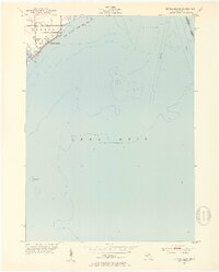
1952 · Estral Beach
USGS Topo · 1:24,000
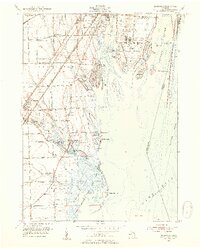
1952 · Rockwood
USGS Topo · 1:24,000