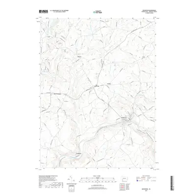
2019 Map of Rockwood
USGS Topo · Published 2019About this map
The Casselman River carves a deep path through the southern portion of this Somerset County landscape, defining the topography near the Casselman Gorge. The river valley serves as a primary corridor for regional infrastructure, carrying the CSX Transportation railroad line past the borough of Rockwood. This settlement is a central hub for the area, featuring the Rockwood Sch and a local Post Office near the water's edge. Further north, the terrain transitions into a patchwork of rural hamlets and agricultural lands, with small centers like New Centerville, Gebhart, and Kimmel connected by a network of local roads.
Find a feature on this map
131 named features on this map. Tap any name to fly to it.
Don’t see what you’re looking for? This feature index may not catch every label — zoom into the map to look around manually.
Map Details
Editions of this 2019 Rockwood Map
This is the sole edition of this map. No revisions or reprints were ever made.
Other maps of this area

1913 · Somerset
USGS Topo · 1:62,500

1915 · Somerset
USGS Topo · 1:62,500

1921 · Meyersdale
USGS Topo · 1:62,500

1922 · Confluence
USGS Topo · 1:62,500

1922 · Donegal
USGS Topo · 1:62,500

1931 · Confluence
USGS Topo · 1:62,500

1933 · Confluence
USGS Topo · 1:62,500

1935 · Donegal
USGS Topo · 1:62,500

1939 · Meyersdale
USGS Topo · 1:62,500

1944 · Somerset
USGS Topo · 1:62,500