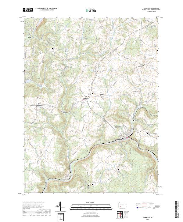
2023 Map of Rockwood
USGS Topo · Published 2023About this map
The Casselman River winds through the southern portion of this region, carving the prominent Casselman Gorge as it flows past the boroughs of Rockwood and Casselman. This 2023 edition documents a landscape defined by its deep spiritual and community roots, featuring numerous family and congregational burial grounds such as the Middlecreek Church of the Brethren Cem and the Rockwood Independent Order of Odd Fellows Cem. The transportation network is anchored by Rockwood Station and a series of rural routes including New Centerville Rd and Copper Kettle Hwy.
Find a feature on this map
140 named features on this map. Tap any name to fly to it.
Don’t see what you’re looking for? This feature index may not catch every label — zoom into the map to look around manually.
Map Details
Editions of this 2023 Rockwood Map
This is the sole edition of this map. No revisions or reprints were ever made.
Other maps of this area
1913 · Somerset
USGS Topo · 1:62,500
1915 · Somerset
USGS Topo · 1:62,500
1921 · Meyersdale
USGS Topo · 1:62,500
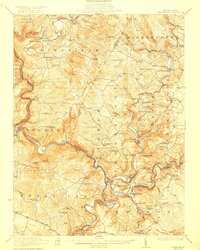
1922 · Confluence
USGS Topo · 1:62,500
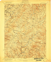
1922 · Donegal
USGS Topo · 1:62,500
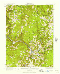
1931 · Confluence
USGS Topo · 1:62,500
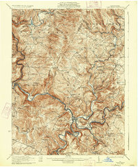
1933 · Confluence
USGS Topo · 1:62,500
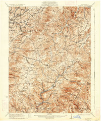
1935 · Donegal
USGS Topo · 1:62,500
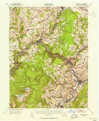
1939 · Meyersdale
USGS Topo · 1:62,500
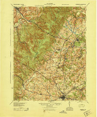
1944 · Somerset
USGS Topo · 1:62,500