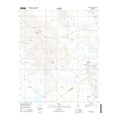
2015 Map of Rocky Branch
USGS Topo · Published 2015About this map
Bayou de Loutre winds through this 2015 landscape, defining a network of wetlands and lakes where Union Parish meets Ouachita Parish. The settlement of Rocky Branch serves as a central point for the region's rural road network, which includes family-named routes like John Haye RD and Duke Nolan RD. To the north, the community of Crossroads is anchored by Crossroads Cem, while the eastern boundary follows the wide course of the Ouachita River.
Find a feature on this map
77 named features on this map. Tap any name to fly to it.
Don’t see what you’re looking for? This feature index may not catch every label — zoom into the map to look around manually.
Map Details
Editions of this 2015 Rocky Branch Map
This is the sole edition of this map. No revisions or reprints were ever made.
Other maps of this area

1935 · Drew
USGS Topo · 1:62,500

1935 · Haile
USGS Topo · 1:62,500

1952 · Calhoun
USGS Topo · 1:62,500

1952 · Farmerville
USGS Topo · 1:62,500

1955 · Shreveport
USGS Topo · 1:250,000

1956 · Shreveport
USGS Topo · 1:250,000

1956 · Haile
USGS Topo · 1:62,500

1957 · Monroe North
USGS Topo · 1:62,500

1957 · West Monroe North
USGS Topo · 1:24,000
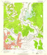
1957 · Monroe North
USGS Topo · 1:24,000