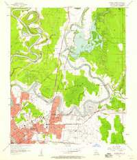
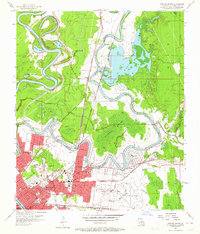
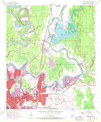
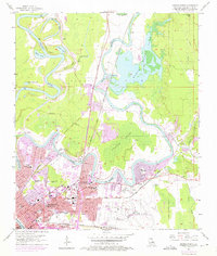
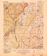
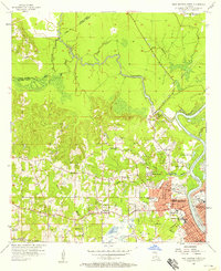
1957 Map of Monroe North
USGS Topo · Published 1958About this map
NE Louisiana State College and the northern residential expansions of Monroe anchor this 1950s survey of the Ouachita Parish landscape. The winding course of the Ouachita River creates a series of oxbow features like Horseshoe Lake and Moon Lake, while the industrial footprint of the Monroe Gas Field and the sprawling Selman Airport dominate the eastern reaches. The map documents a community in transition, showing the infrastructure of mid-century education and social services through the Booker T Washington Sch, Union High Sch, and the Childrens Home. Navigation and water control are central to the area's development, evidenced by the Bayou de Siard Dam and the complex drainage of the Chauvin Swamp. From the Jewish Cem to the local Drive-in Theater, the sheet provides a detailed look at the social and economic geography of the parish just before significant modern urban sprawl.
Find a feature on this map
56 named features on this map. Tap any name to fly to it.
Don’t see what you’re looking for? This feature index may not catch every label — zoom into the map to look around manually.
Map Details
Editions of this 1957 Monroe North Map
4 editions found
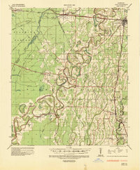
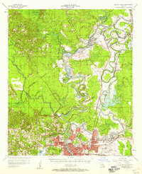
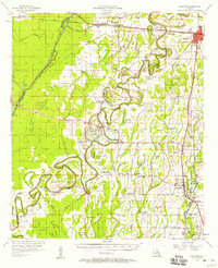
Other maps of this area
1935 · Collinston
USGS Topo · 1:62,500
1935 · Alto
USGS Topo · 1:62,500

1935 · Drew
USGS Topo · 1:62,500
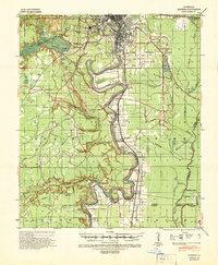
1940 · Monroe
USGS Topo · 1:62,500

1955 · Jackson
USGS Topo · 1:250,000

1955 · Shreveport
USGS Topo · 1:250,000

1956 · Shreveport
USGS Topo · 1:250,000
1957 · Monroe North
USGS Topo · 1:62,500
1957 · West Monroe North
USGS Topo · 1:24,000
1957 · Mangham
USGS Topo · 1:62,500