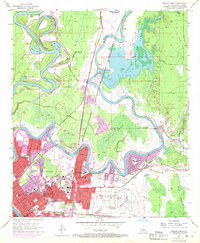
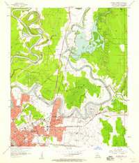
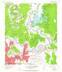
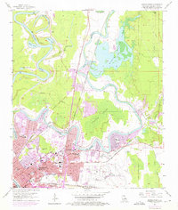
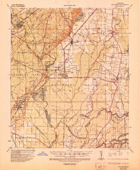
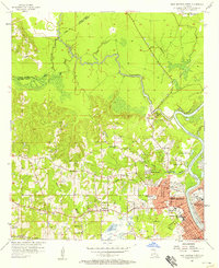
1957 Map of Monroe North
USGS Topo · Published 1969About this map
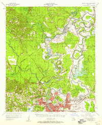
The Ouachita River meanders through this landscape, defining a complex hydrology of oxbows and bayous that shaped the development of Monroe. The 1950s and 60s saw significant institutional expansion, most notably the campus of NE Louisiana State College and several educational landmarks such as Booker T Washington Sch and Union High Sch. The urban fabric is interwoven with historic burial grounds, including the Old City Cem, Jewish Cem, and Memorial Park Cemetery, providing a detailed record for genealogical research.
Find a feature on this map
52 named features on this map. Tap any name to fly to it.
Don’t see what you’re looking for? This feature index may not catch every label — zoom into the map to look around manually.
Map Details
Editions of this 1957 Monroe North Map
4 editions found
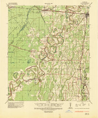
Other maps of this area
1935 · Collinston
USGS Topo · 1:62,500
1935 · Alto
USGS Topo · 1:62,500

1935 · Drew
USGS Topo · 1:62,500
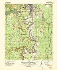
1940 · Monroe
USGS Topo · 1:62,500

1955 · Jackson
USGS Topo · 1:250,000

1955 · Shreveport
USGS Topo · 1:250,000

1956 · Shreveport
USGS Topo · 1:250,000
1957 · Monroe North
USGS Topo · 1:62,500
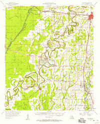
1957 · West Monroe North
USGS Topo · 1:24,000
1957 · Mangham
USGS Topo · 1:62,500