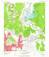
1957 Map of Monroe North
USGS Topo · Published 1967About this map
Monroe and its northern surroundings are defined by the winding course of the Ouachita River and the expansive Bayou de Siard, which carves a complex path through the landscape. In the mid-1950s, this area reflects a significant period of institutional growth, highlighted by the campus of NE Louisiana State College and the large footprint of Selman Airport on the eastern edge. The topography is a mix of urban development and hydraulic engineering, where the Spoil Bank and Bayou de Siard Dam manage the local waterways. Beyond the city center, the Monroe Gas Field and several smaller settlements like Lamkin and Sicard illustrate the region's industrial and agricultural roots. The map captures a high density of civic life through numerous neighborhood schools like Lexington Sch and Tucker Sch, alongside landmarks like the Radio and TV Tower (KNOE).
Find a feature on this map
59 named features on this map. Tap any name to fly to it.
Don’t see what you’re looking for? This feature index may not catch every label — zoom into the map to look around manually.
Map Details
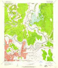
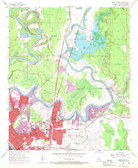
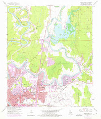
Editions of this 1957 Monroe North Map
4 editions found
Other maps of this area

1935 · Collinston
USGS Topo · 1:62,500

1935 · Alto
USGS Topo · 1:62,500

1935 · Drew
USGS Topo · 1:62,500

1940 · Monroe
USGS Topo · 1:62,500

1955 · Jackson
USGS Topo · 1:250,000

1955 · Shreveport
USGS Topo · 1:250,000

1956 · Shreveport
USGS Topo · 1:250,000

1957 · Monroe North
USGS Topo · 1:62,500

1957 · West Monroe North
USGS Topo · 1:24,000

1957 · Mangham
USGS Topo · 1:62,500