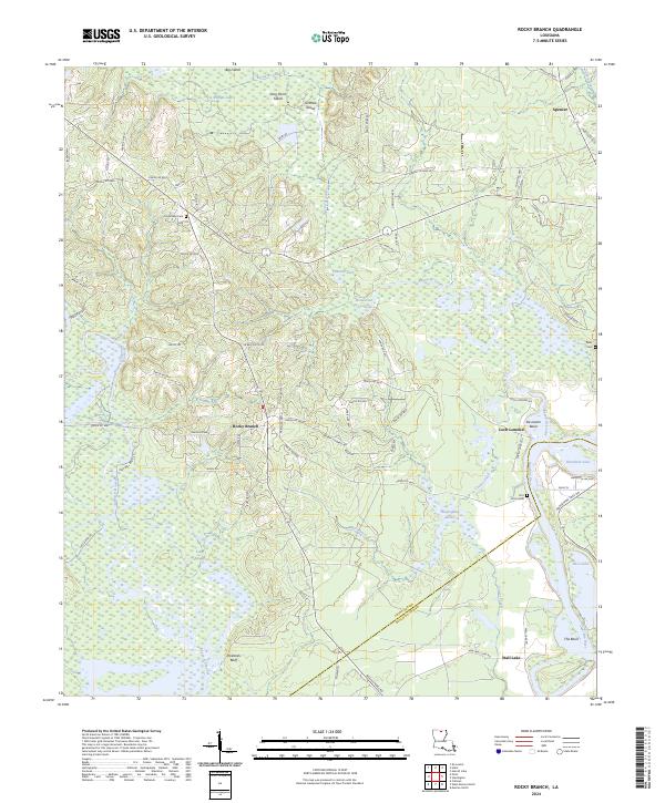
2024 Map of Rocky Branch
USGS Topo · Published 2024About this map
The Ouachita River defines the eastern boundary of this Union Parish landscape, carving a complex network of backwaters including The Basin and Pace Lake. To the west, the protected wetlands of the D'Arbonne National Wildlife Refuge dominate the territory, where Bayou d'Arbonne and Long Slough create a labyrinthine aquatic environment. The map captures the interface between these wild bottoms and established upland settlements like Rocky Branch and Spencer.
Find a feature on this map
88 named features on this map. Tap any name to fly to it.
Don’t see what you’re looking for? This feature index may not catch every label — zoom into the map to look around manually.
Map Details
Editions of this 2024 Rocky Branch Map
This is the sole edition of this map. No revisions or reprints were ever made.
Other maps of this area

1935 · Drew
USGS Topo · 1:62,500

1935 · Haile
USGS Topo · 1:62,500

1952 · Calhoun
USGS Topo · 1:62,500

1952 · Farmerville
USGS Topo · 1:62,500

1955 · Shreveport
USGS Topo · 1:250,000

1956 · Shreveport
USGS Topo · 1:250,000

1956 · Haile
USGS Topo · 1:62,500

1957 · Monroe North
USGS Topo · 1:62,500

1957 · West Monroe North
USGS Topo · 1:24,000
1957 · Monroe North
USGS Topo · 1:24,000