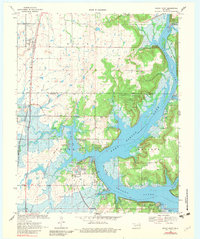
1970 Map of Rocky Point
USGS Topo · Published 1982About this map
Fort Gibson Lake dominates the center of this landscape, its fingers reaching into the surrounding terrain of Mayes and Wagoner Counties. The expansive waterway created a complex shoreline of inlets like Flat Rock Bay and Big Bend, with numerous recreational sites established along its banks, including the Blue Bill Point Public Use Area and Snug Harbor Public Use Area. The map illustrates the region's infrastructure following the reservoir's creation, showing a Filtration Plant and Substation near the named community of Rocky Point.
Find a feature on this map
36 named features on this map. Tap any name to fly to it.
Don’t see what you’re looking for? This feature index may not catch every label — zoom into the map to look around manually.
Map Details
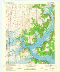
Editions of this 1970 Rocky Point Map
2 editions found
Other maps of this area

1896 · Pryor
USGS Topo · 1:125,000

1901 · Muscogee
USGS Topo · 1:125,000

1901 · Pryor
USGS Topo · 1:125,000

1905 · Muscogee
USGS Topo · 1:125,000

1946 · Fort Smith
USGS Topo · 1:250,000

1948 · Hulbert
USGS Topo · 1:62,500

1948 · Wagoner
USGS Topo · 1:62,500

1950 · Wagoner
USGS Topo · 1:62,500

1950 · Hulbert
USGS Topo · 1:62,500

1954 · Tulsa
USGS Topo · 1:250,000