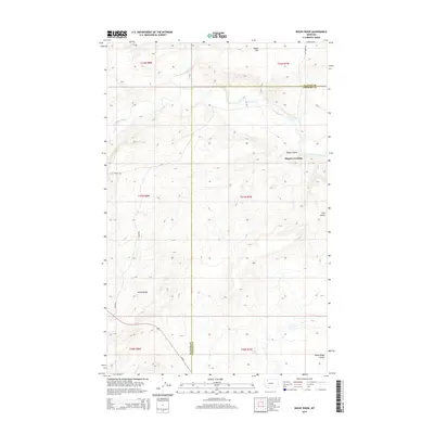
2014 Map of Rocky Ridge
USGS Topo · Published 2014About this map
Two Medicine River and Badger Creek carve through this landscape along the border of Glacier and Pondera counties. The terrain is defined by dramatic elevation shifts at Rocky Ridge and isolated landmarks like Flag Butte. In the eastern portion of the sheet, the river crossing at Hagans Crossing serves as a focal point near the convergence of Kipps Coulee and Two-Medicine River. Modern transit is facilitated by Us-89, which cuts across the southwest corner near Rocky Ridge Coulee. Local movement is further traced by named paths such as Wetzel Trl and Vic Lenoir Rd, reflecting the rural infrastructure of this ranching and grazing region. Smaller natural features like Fisher Spring and Hagan Flat provide essential water and level ground in an otherwise varied topography.
Find a feature on this map
21 named features on this map. Tap any name to fly to it.
Don’t see what you’re looking for? This feature index may not catch every label — zoom into the map to look around manually.
Map Details
Editions of this 2014 Rocky Ridge Map
This is the sole edition of this map. No revisions or reprints were ever made.
Other maps of this area

1907 · Blackfoot Res.
USGS Topo · 1:48,000

1909 · Cut Bank
USGS Topo · 1:125,000

1911 · Blackfoot
USGS Topo · 1:125,000

1912 · Cut Bank
USGS Topo · 1:125,000

1914 · Heart Butte
USGS Topo · 1:125,000

1918 · Heart Butte
USGS Topo · 1:125,000

1920 · Dupuyer
USGS Topo · 1:125,000

1934 · Lake Frances
USGS Topo · 1:48,000

1937 · Lake Frances
USGS Topo · 1:62,500

1960 · Cut Bank
USGS Topo · 1:250,000