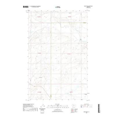
2020 Map of Rocky Ridge
USGS Topo · Published 2020About this map
Rocky Ridge dominates the central landscape of this Pondera and Glacier County border region, marking the high ground between significant northern Montana water systems. The Two Medicine River meanders across the northern reaches, complemented by the drainage of Badger Creek and the expansive Hagan Flat to the north. These watercourses were vital for early ranching and transit through the Blackfeet reservation lands, providing essential resources in an arid environment where isolated features like Fisher Spring and the 30N07W08AABB01 Spring represent critical landmarks. The presence of named local routes like Lenoir Rd and the J Wolsted path indicates the enduring footprint of individual families and early settlers who managed the livestock and land. Deep coulees, such as Kipps Coulee and Rocky Ridge Coulee, further define the complex drainage patterns and historical natural boundaries of the area.
Find a feature on this map
17 named features on this map. Tap any name to fly to it.
Don’t see what you’re looking for? This feature index may not catch every label — zoom into the map to look around manually.
Map Details
Editions of this 2020 Rocky Ridge Map
This is the sole edition of this map. No revisions or reprints were ever made.
Other maps of this area
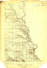
1907 · Blackfoot Res.
USGS Topo · 1:48,000
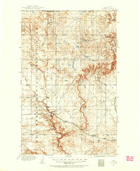
1909 · Cut Bank
USGS Topo · 1:125,000
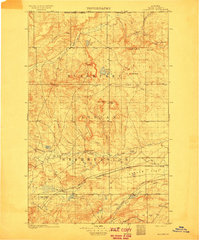
1911 · Blackfoot
USGS Topo · 1:125,000
1912 · Cut Bank
USGS Topo · 1:125,000
1914 · Heart Butte
USGS Topo · 1:125,000
1918 · Heart Butte
USGS Topo · 1:125,000
1920 · Dupuyer
USGS Topo · 1:125,000
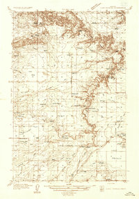
1934 · Lake Frances
USGS Topo · 1:48,000
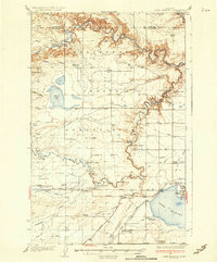
1937 · Lake Frances
USGS Topo · 1:62,500
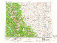
1960 · Cut Bank
USGS Topo · 1:250,000