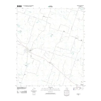
2010 Map of Rogers
USGS Topo · Published 2010About this map
Rogers serves as the central hub for this portion of Bell County, where a network of rural roads and county routes connects smaller outlying settlements. The landscape is defined by the winding paths of Big Elm Creek and South Elm Creek, which support several small impoundments including Rogers Lake and Zane Lake. These water sources and the local drainage patterns of Lipan Creek have long shaped the agricultural footprint of the region.
Find a feature on this map
52 named features on this map. Tap any name to fly to it.
Don’t see what you’re looking for? This feature index may not catch every label — zoom into the map to look around manually.
Map Details
Editions of this 2010 Rogers Map
This is the sole edition of this map. No revisions or reprints were ever made.
Other maps of this area

1885 · Taylor
USGS Topo · 1:125,000

1887 · Taylor
USGS Topo · 1:125,000

1892 · Temple
USGS Topo · 1:125,000

1894 · Taylor
USGS Topo · 1:125,000

1910 · Buckholts
USGS Topo · 1:24,000

1912 · Buckholts
USGS Topo · 1:31,680

1931 · Belton
USGS Topo · 1:62,500

1954 · Waco
USGS Topo · 1:250,000

1954 · Austin
USGS Topo · 1:250,000

1955 · Waco
USGS Topo · 1:250,000