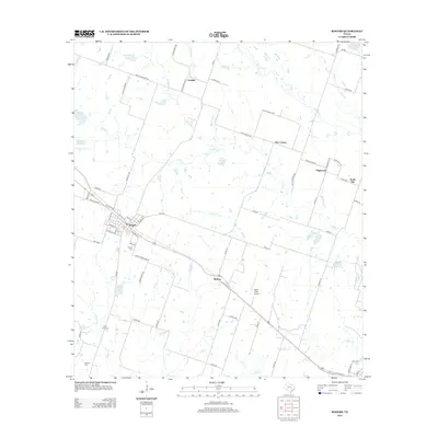
2013 Map of Rogers
USGS Topo · Published 2013About this map
The town of Rogers serves as the central hub of this eastern Bell County landscape, where the local road network and rail line converge. Smaller settlements like Bowers, Leedale, and New Colony are scattered across a terrain defined by the winding paths of Big Elm Cr and S Elm Cr. This 2013 survey provides a clear view of the rural homesteads and agricultural tracts that have sustained the region for generations. Genealogists will find significant value in the distribution of family-named burial sites, including McCann Cem and Taplin View Cem, as well as the larger Rogers Cem. The map also captures modern infrastructure like the Wolfe Field Airport and the complex web of farm-to-market roads, such as FM 2184, which link these historic communities to their larger neighbors.
Find a feature on this map
68 named features on this map. Tap any name to fly to it.
Don’t see what you’re looking for? This feature index may not catch every label — zoom into the map to look around manually.
Map Details
Editions of this 2013 Rogers Map
This is the sole edition of this map. No revisions or reprints were ever made.
Other maps of this area

1885 · Taylor
USGS Topo · 1:125,000

1887 · Taylor
USGS Topo · 1:125,000

1892 · Temple
USGS Topo · 1:125,000

1894 · Taylor
USGS Topo · 1:125,000

1910 · Buckholts
USGS Topo · 1:24,000

1912 · Buckholts
USGS Topo · 1:31,680

1931 · Belton
USGS Topo · 1:62,500

1954 · Waco
USGS Topo · 1:250,000

1954 · Austin
USGS Topo · 1:250,000

1955 · Waco
USGS Topo · 1:250,000