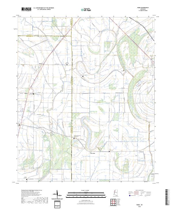
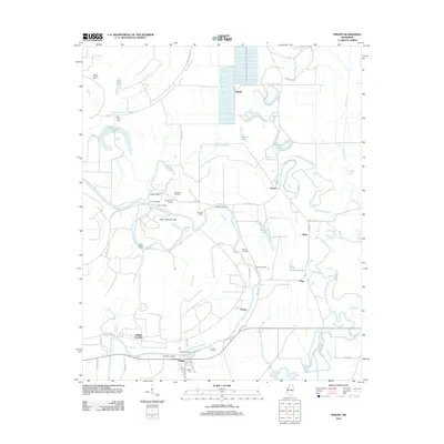
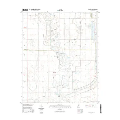
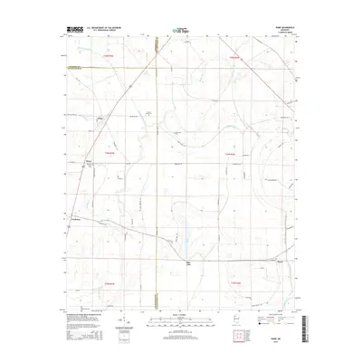
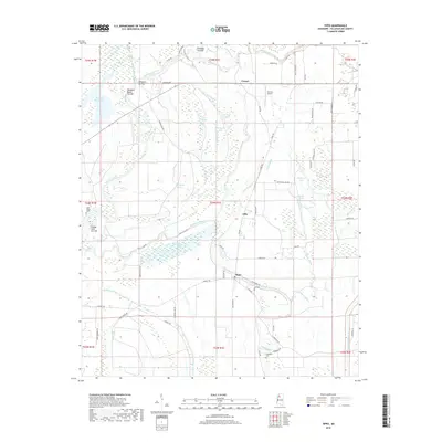
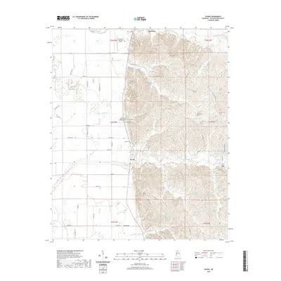
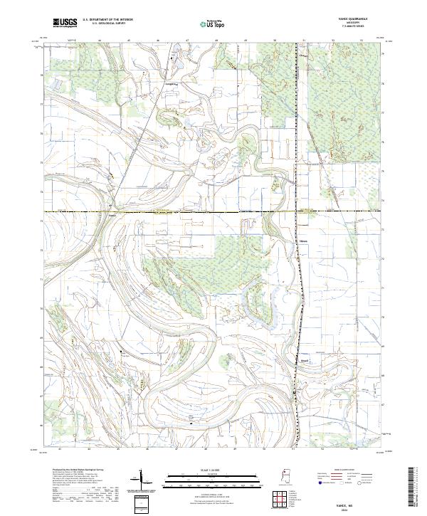
2024 Map of Rome
USGS Topo · Published 2024About this map
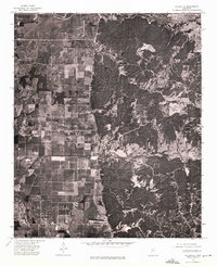
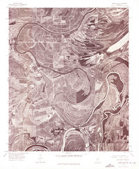
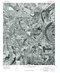
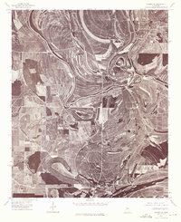
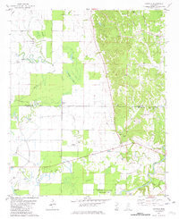
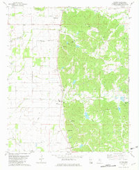
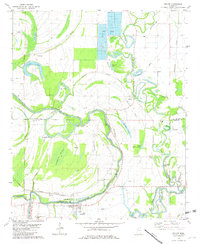
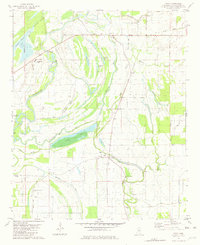
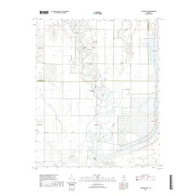
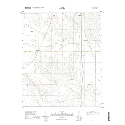
The settlement of Rome sits in the heart of the Mississippi Delta, defined by a landscape of bayous and agricultural tracts. This 2024 survey captures a rural environment where water management is central to the local geography, featuring the winding Quiver River and its various distributaries like the Upper Quiver River and Lower Quiver River. The terrain is characterized by low-lying areas such as Staten Brake and Blue Lake, which are interspersed with numerous family-named roads and rural infrastructure.
Find a feature on this map
65 named features on this map. Tap any name to fly to it.
Don’t see what you’re looking for? This feature index may not catch every label — zoom into the map to look around manually.
Map Details
Editions of this 2024 Rome Map
This is the sole edition of this map. No revisions or reprints were ever made.
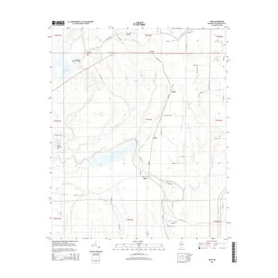
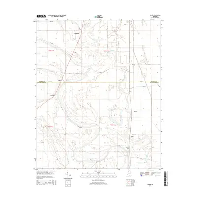
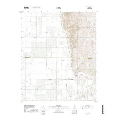
Historical Maps of Sumner Through Time
53 maps found
1932 Philipp
Tallahatchie County, MS

1935 Philipp
Tallahatchie County, MS

1939 Philipp
Tallahatchie County, MS
1957 Philipp
Tallahatchie County, MS
1967 Vance
Tallahatchie County, MS
1974 Philipp NE
Tallahatchie County, MS
1974 Philipp NW
Tallahatchie County, MS
1974 Philipp SE
Tallahatchie County, MS
1974 Philipp SW
Tallahatchie County, MS
1974 Sumner NE
Tallahatchie County, MS
1974 Sumner NW
Tallahatchie County, MS
1974 Sumner SE
Tallahatchie County, MS
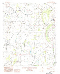
1981 Cascilla
Tallahatchie County, MS
1981 Paynes
Tallahatchie County, MS
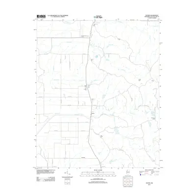
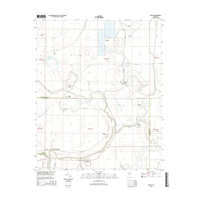
1981 Philipp
Tallahatchie County, MS
1981 Tippo
Tallahatchie County, MS
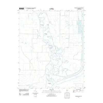
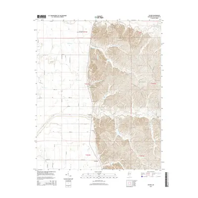
1982 Fishhook Lake
Tallahatchie County, MS
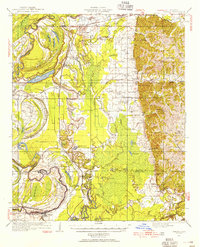
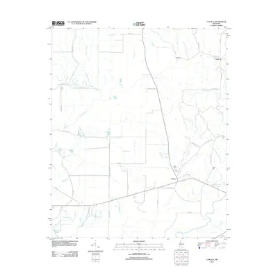
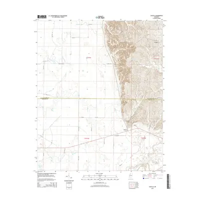
1983 Rome
Tallahatchie County, MS
2012 Cascilla
Tallahatchie County, MS
2012 Fishhook Lake
Tallahatchie County, MS
2012 Paynes
Tallahatchie County, MS
2012 Philipp
Tallahatchie County, MS
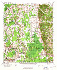
2012 Rome
Tallahatchie County, MS
2012 Tippo
Tallahatchie County, MS
2012 Vance
Tallahatchie County, MS
2015 Cascilla
Tallahatchie County, MS
2015 Fishhook Lake
Tallahatchie County, MS
2015 Paynes
Tallahatchie County, MS
2015 Philipp
Tallahatchie County, MS
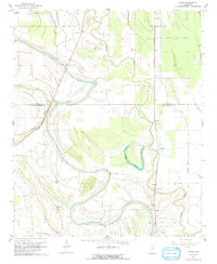
2015 Rome
Tallahatchie County, MS
2015 Tippo
Tallahatchie County, MS
2015 Vance
Tallahatchie County, MS
2018 Cascilla
Tallahatchie County, MS
2018 Fishhook Lake
Tallahatchie County, MS
2018 Paynes
Tallahatchie County, MS
2018 Philipp
Tallahatchie County, MS
2018 Rome
Tallahatchie County, MS
2018 Tippo
Tallahatchie County, MS
2018 Vance
Tallahatchie County, MS
2020 Cascilla
Tallahatchie County, MS
2020 Fishhook Lake
Tallahatchie County, MS
2020 Paynes
Tallahatchie County, MS
2020 Philipp
Tallahatchie County, MS
2020 Rome
Tallahatchie County, MS
2020 Tippo
Tallahatchie County, MS
2020 Vance
Tallahatchie County, MS
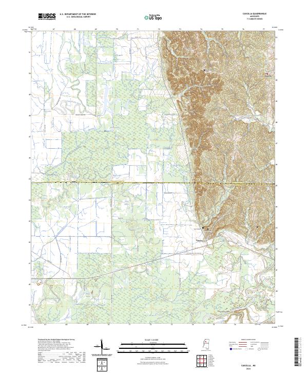
2024 Cascilla
Tallahatchie County, MS
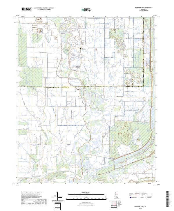
2024 Fishhook Lake
Tallahatchie County, MS
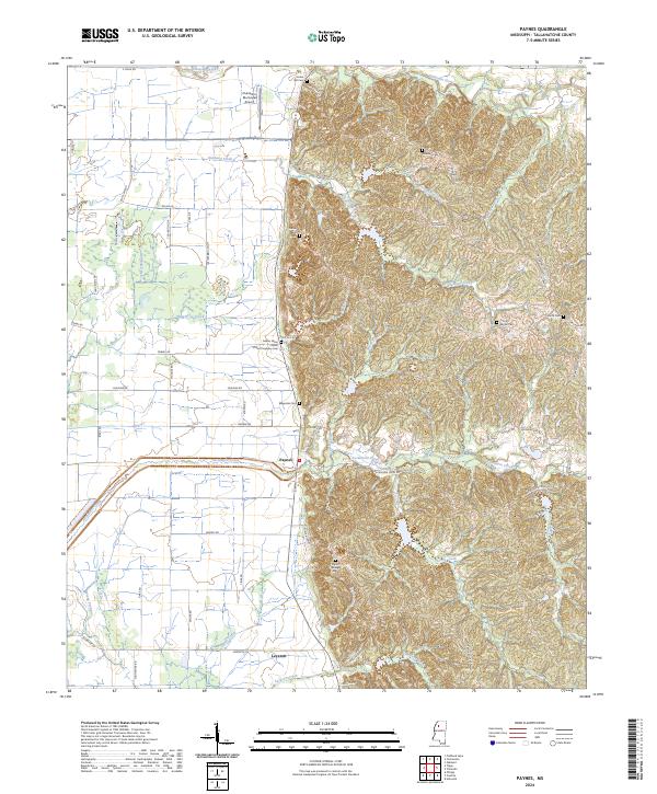
2024 Paynes
Tallahatchie County, MS
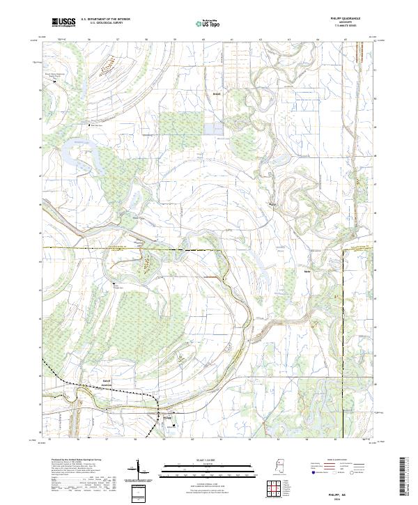
2024 Philipp
Tallahatchie County, MS
2024 Rome
Tallahatchie County, MS
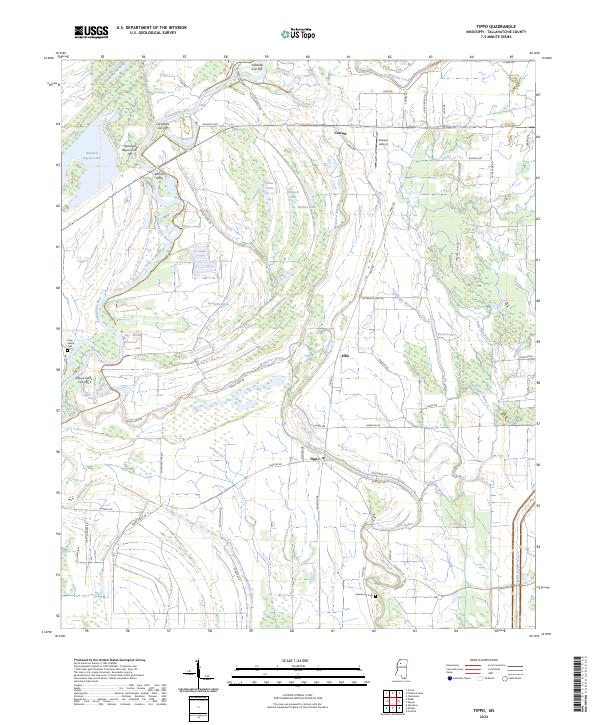
2024 Tippo
Tallahatchie County, MS
2024 Vance
Tallahatchie County, MS