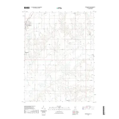
2021 Map of Roodhouse East
USGS Topo · Published 2021About this map
Roodhouse and the northern edge of White Hall anchor this survey of Greene County's agricultural heartland. The landscape is defined by the winding course of Apple Cr, which cuts through the central terrain alongside its tributaries Wolf Run and Bear Cr. These drainage patterns shape the placement of rural homesteads and several family burial grounds, providing a preserved record of 19th and 20th-century settlement for local historians.
Find a feature on this map
32 named features on this map. Tap any name to fly to it.
Don’t see what you’re looking for? This feature index may not catch every label — zoom into the map to look around manually.
Map Details
Editions of this 2021 Roodhouse East Map
This is the sole edition of this map. No revisions or reprints were ever made.
Other maps of this area

1924 · Winchester
USGS Topo · 1:48,000

1924 · Roodhouse
USGS Topo · 1:62,500

1926 · Winchester
USGS Topo · 1:62,500

1926 · Roodhouse
USGS Topo · 1:62,500

1932 · Greenfield
USGS Topo · 1:62,500

1932 · Jacksonville
USGS Topo · 1:62,500

1937 · Jacksonville
USGS Topo · 1:62,500

1948 · Quincy
USGS Topo · 1:250,000

1956 · Quincy
USGS Topo · 1:250,000
1983 · Alsey
USGS Topo · 1:24,000