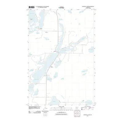
2010 Map of Roosevelt Lake
USGS Topo · Published 2010About this map
Outing serves as the central hub of this lake-strewn landscape, situated where Lawrence Lake meets the north-stretching waters of Roosevelt Lake. The 2010 geography is defined by a dense network of timber and recreational lands, notably featuring the Washburn Lake Campground and Birch Bay Campground in the northern reaches. This area in Crow Wing County is a complex glacial terrain where small water bodies like Donut Lake, Mule Lake, and Snake Lake are interspersed between larger basins. Local resort history is grounded at Thom's Resort and Campground on the western shore of Roosevelt Lake. In the south, the Little Pine River flows through the Duck Lake Dam, illustrating the managed water levels essential for the region's seasonal economy. The map also traces smaller tributaries like Van Sickle Brook and Crooked Creek, which feed into the primary lake chains.
Find a feature on this map
58 named features on this map. Tap any name to fly to it.
Don’t see what you’re looking for? This feature index may not catch every label — zoom into the map to look around manually.
Map Details
Editions of this 2010 Roosevelt Lake Map
This is the sole edition of this map. No revisions or reprints were ever made.
Other maps of this area

1913 · Cuyuna
USGS Topo · 1:62,500

1915 · Cuyuna
USGS Topo · 1:62,500

1953 · Duluth
USGS Topo · 1:250,000

1953 · Brainerd
USGS Topo · 1:250,000

1957 · Brainerd
USGS Topo · 1:250,000

1958 · Brainerd
USGS Topo · 1:250,000

1958 · Duluth
USGS Topo · 1:250,000

1960 · Cross Lake
USGS Topo · 1:24,000

1965 · Brainerd
USGS Topo · 1:250,000

1970 · Laura Lake
USGS Topo · 1:24,000