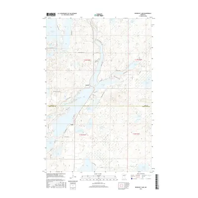
2016 Map of Roosevelt Lake
USGS Topo · Published 2016About this map
Emily and Outing anchor this lakeland landscape along the border of Cass and Crow Wing counties. The area is defined by an intricate network of interconnected waterways, most notably the elongated reach of Roosevelt Lake and its northern neighbor, Lawrence Lake. The terrain is shaped by glacial depressions, creating a mosaic of varied water bodies like Smoky Hollow Lake, Washburn Lake, and the smaller Little Emily Lake.
Find a feature on this map
70 named features on this map. Tap any name to fly to it.
Don’t see what you’re looking for? This feature index may not catch every label — zoom into the map to look around manually.
Map Details
Editions of this 2016 Roosevelt Lake Map
This is the sole edition of this map. No revisions or reprints were ever made.
Other maps of this area

1913 · Cuyuna
USGS Topo · 1:62,500

1915 · Cuyuna
USGS Topo · 1:62,500

1953 · Duluth
USGS Topo · 1:250,000

1953 · Brainerd
USGS Topo · 1:250,000

1957 · Brainerd
USGS Topo · 1:250,000

1958 · Brainerd
USGS Topo · 1:250,000

1958 · Duluth
USGS Topo · 1:250,000

1960 · Cross Lake
USGS Topo · 1:24,000

1965 · Brainerd
USGS Topo · 1:250,000

1970 · Laura Lake
USGS Topo · 1:24,000