1947 Map of Rosamond
USGS Topo · Published 1963About this map
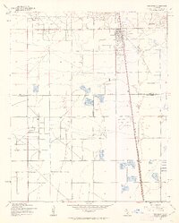
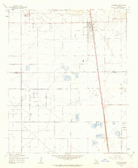
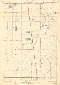
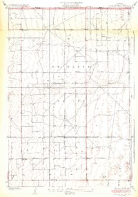
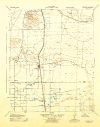
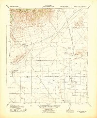
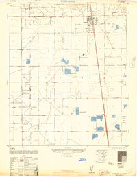
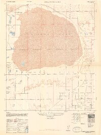
Rosamond serves as the primary hub of activity in this 1947 survey, situated at the intersection of the Southern Pacific railroad and a grid of emerging desert roads. The landscape is defined by the flat expanse of the Antelope Valley, punctuated by the industrial presence of a Landing Field and the rugged silhouette of Soledad Mtn to the north. The survey captures a specific moment of transition as agricultural interests like A Andrews Ranch and small rail-side stops like Oban dot the high desert floor. A notable administrative boundary, the Kern Co Los Angeles Co line, bisects the southern half of the map, illustrating how this region straddles two major California counties. The grid system of lettered and numbered thoroughfares, including Avenue A and 30th Street W, suggests a planned expansion of the settlement pattern during the mid-century era.
Find a feature on this map
18 named features on this map. Tap any name to fly to it.
Don’t see what you’re looking for? This feature index may not catch every label — zoom into the map to look around manually.
Map Details
Editions of this 1947 Rosamond Map
3 editions found
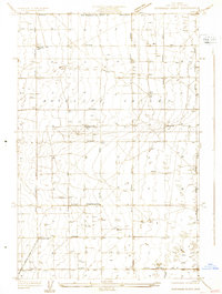
Other maps of this area

1915 · Elizabeth Lake
USGS Topo · 1:125,000

1917 · Elizabeth Lake
USGS Topo · 1:125,000

1930 · Oban
USGS Topo · 1:24,000
1931 · Esperanza School
USGS Topo · 1:24,000
1933 · Oban
USGS Topo · 1:24,000
1934 · Esperanza School
USGS Topo · 1:24,000
1943 · Rosamond
USGS Topo · 1:62,500
1943 · Willow Springs
USGS Topo · 1:62,500
1947 · Rosamond
USGS Topo · 1:24,000
1947 · Rosamond Lake
USGS Topo · 1:24,000