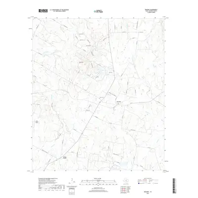
2019 Map of Rosanky
USGS Topo · Published 2019About this map
The community of Rosanky sits as a central hub for this corner of Bastrop County, where the landscape is defined by the branching tributaries of the Colorado River basin. The terrain rises to Roundup Ridge and a prominent High Point, providing a varied topography that shapes the local road network. Rural life here is anchored by long-standing sites such as Rosanky Cem and Young Cem, which offer significant value for genealogical research into the area's early families.
Find a feature on this map
73 named features on this map. Tap any name to fly to it.
Don’t see what you’re looking for? This feature index may not catch every label — zoom into the map to look around manually.
Map Details
Editions of this 2019 Rosanky Map
This is the sole edition of this map. No revisions or reprints were ever made.
Other maps of this area

1885 · Bastrop
USGS Topo · 1:125,000

1893 · Bastrop
USGS Topo · 1:125,000

1901 · Flatonia
USGS Topo · 1:125,000

1904 · Bastrop
USGS Topo · 1:125,000

1948 · Smithville
USGS Topo · 1:62,500

1948 · Bastrop
USGS Topo · 1:62,500

1950 · Bastrop
USGS Topo · 1:62,500

1950 · Smithville
USGS Topo · 1:62,500

1953 · Seguin
USGS Topo · 1:250,000

1954 · Austin
USGS Topo · 1:250,000