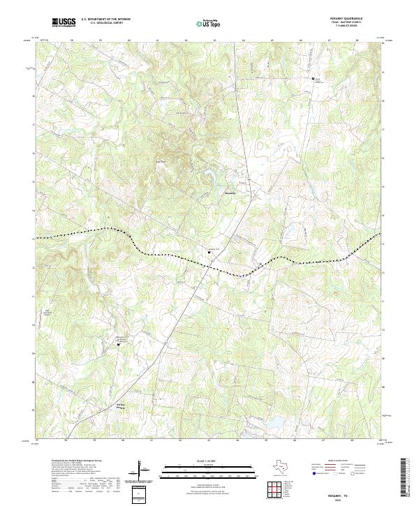
2022 Map of Rosanky
USGS Topo · Published 2022About this map
Rosanky and the nearby community of String Prairie anchor this corner of Bastrop County, characterized by a complex network of seasonal creeks and low ridges. The landscape is defined by drainage systems like Sandy Cr and Brushy Cr, which cut through the terrain toward the southeast. For local historians and genealogists, the map identifies several significant burial sites, including the Rosanky Cem and the Assumption Of The Blessed Virgin Mary Cem. A small rural airfield, High Lonesome Airport, sits west of the primary settlements, while natural high ground is marked at High Point and Roundup Ridge. The road network consists largely of county routes and farm-to-market roads, such as FM 535, which connect these dispersed rural homesteads and agricultural tracts across the watershed of Piney Cr and Bartons Cr.
Find a feature on this map
75 named features on this map. Tap any name to fly to it.
Don’t see what you’re looking for? This feature index may not catch every label — zoom into the map to look around manually.
Map Details
Editions of this 2022 Rosanky Map
This is the sole edition of this map. No revisions or reprints were ever made.
Other maps of this area

1885 · Bastrop
USGS Topo · 1:125,000

1893 · Bastrop
USGS Topo · 1:125,000

1901 · Flatonia
USGS Topo · 1:125,000

1904 · Bastrop
USGS Topo · 1:125,000

1948 · Smithville
USGS Topo · 1:62,500

1948 · Bastrop
USGS Topo · 1:62,500

1950 · Bastrop
USGS Topo · 1:62,500

1950 · Smithville
USGS Topo · 1:62,500

1953 · Seguin
USGS Topo · 1:250,000

1954 · Austin
USGS Topo · 1:250,000