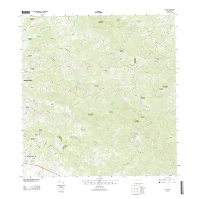
2013 Map of Rosario
USGS Topo · Published 2013This historical map portrays the area of Rosario in 2013, primarily covering Sector Los Limones as well as portions of Sector Pascual Perez, Reparto Adelina, and Urb. Mansiones La Monserrate. Featuring a scale of 1:20,000, this map provides a highly detailed snapshot of the terrain, roads, buildings, counties, and historical landmarks in the Rosario region at the time. Published in 2013, it is the sole known edition of this map.
Map Details
Editions of this 2013 Rosario Map
This is the sole edition of this map. No revisions or reprints were ever made.
Other maps of this area

1935 · Puerto Real
USGS Topo · 1:25,000

1937 · San German
USGS Topo · 1:25,000

1937 · Sabana Grande
USGS Topo · 1:25,000

1937 · Puerto Real
USGS Topo · 1:25,000

1938 · Alto Sano
USGS Topo · 1:20,000

1938 · San Sebastian
USGS Topo · 1:20,000

1939 · Mayaguez
USGS Topo · 1:30,000

1941 · Rincon
USGS Topo · 1:30,000

1941 · San German
USGS Topo · 1:30,000

1941 · Puerto Real
USGS Topo · 1:30,000
Featured Places
- Sector Los Limones, Mayagüez
- Sector Pascual Perez, Mayagüez
- Reparto Adelina, Mayagüez
- Urb. Mansiones La Monserrate, Hormigueros
- Vals Villco del Rosario, San Germán