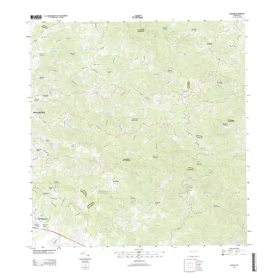
2013 Map of Rosario
USGS Topo · Published 2013About this map
Rosario and the eastern outskirts of Hormigueros anchor this rugged landscape in western Puerto Rico, where the interior mountains give way to a dense network of watercourses. The terrain is defined by the Montanas de Uroyan and prominent heights such as Cerro de la Candelaria and Pico San Bernardo. This 2013 survey illustrates the complex intersection of municipal boundaries, including Mayagüez, San Germán, and Maricao, which follow the winding ridges and riverbeds. The local water infrastructure is prominent, featuring the Represa de Mayaguez and Represa de San German. A intricate web of streams like Rio Rosario, Rio Duey, and Quebrada del Oro carve through the foothills, indicating a landscape heavily influenced by tropical drainage patterns and steep elevation changes across the Island of Puerto Rico.
Find a feature on this map
57 named features on this map. Tap any name to fly to it.
Don’t see what you’re looking for? This feature index may not catch every label — zoom into the map to look around manually.
Map Details
Editions of this 2013 Rosario Map
This is the sole edition of this map. No revisions or reprints were ever made.
Other maps of this area

1935 · Puerto Real
USGS Topo · 1:25,000

1937 · San German
USGS Topo · 1:25,000

1937 · Sabana Grande
USGS Topo · 1:25,000

1937 · Puerto Real
USGS Topo · 1:25,000

1938 · Alto Sano
USGS Topo · 1:20,000

1938 · San Sebastian
USGS Topo · 1:20,000

1939 · Mayaguez
USGS Topo · 1:30,000

1941 · Rincon
USGS Topo · 1:30,000

1941 · San German
USGS Topo · 1:30,000

1941 · Puerto Real
USGS Topo · 1:30,000
Featured Places
- Sector Los Limones, Mayagüez
- Sector Pascual Perez, Mayagüez
- Reparto Adelina, Mayagüez
- Urb. Mansiones La Monserrate, Hormigueros
- Vals Villco del Rosario, San Germán