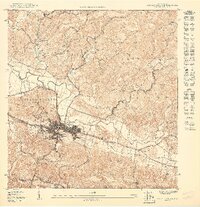
1941 Map of Rosario
USGS Topo · Published 1952About this map
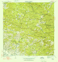
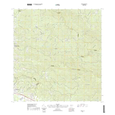
Hacienda life and coffee-era agriculture dominate this landscape during the late 1930s and 1940s, situated at the junction of several municipal boundaries including Mayaguez, Añasco, and San Germán. The settlement of Rosario serves as a central hub, surrounded by a dense network of family-owned estates such as Hacienda Juanita, Hacienda Esperanza, and Hacienda Corcega. These haciendas, often centered around mountain streams like the Rio Rosario and Rio Cañas, reflect the agrarian economy before modern industrialization shifted the island's demographics.
Find a feature on this map
93 named features on this map. Tap any name to fly to it.
Don’t see what you’re looking for? This feature index may not catch every label — zoom into the map to look around manually.
Map Details
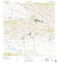
Editions of this 1941 Rosario Map
2 editions found
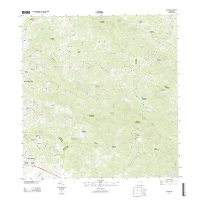
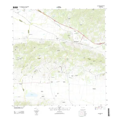
Historical Maps of Sector Los Martinel Through Time
17 maps found

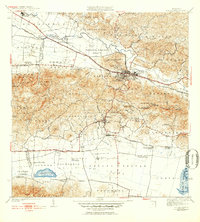
1937 San German
San Germán Municipio, PR

1941 Rosario
San Germán Municipio, PR
1941 San German
San Germán Municipio, PR
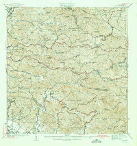
1942 Rosario
San Germán Municipio, PR
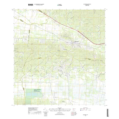
1950 Rosario SE
San Germán Municipio, PR
1950 San German NE
San Germán Municipio, PR

1950 San German NO
San Germán Municipio, PR

1955 Rosario
San Germán Municipio, PR

1957 San German
San Germán Municipio, PR

1964 Rosario
San Germán Municipio, PR
1966 San German
San Germán Municipio, PR
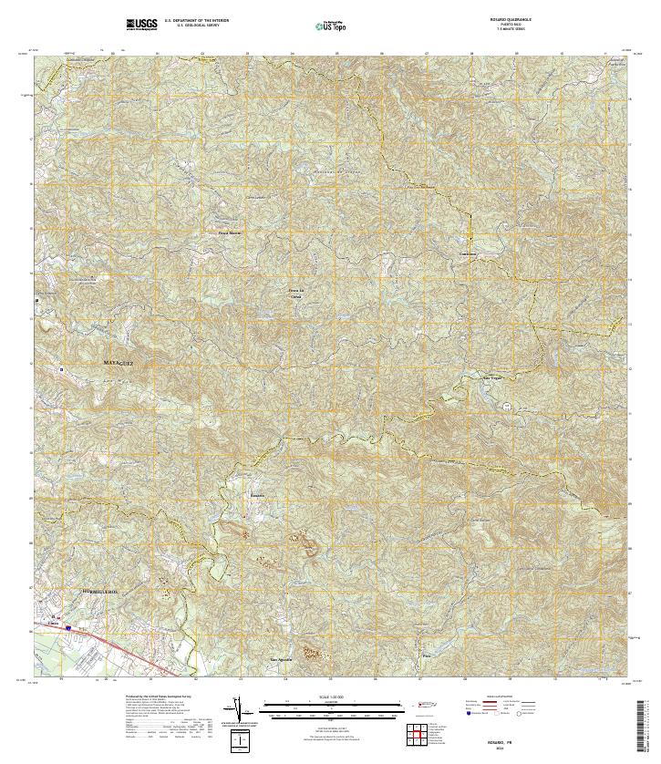
2013 Rosario
San Germán Municipio, PR
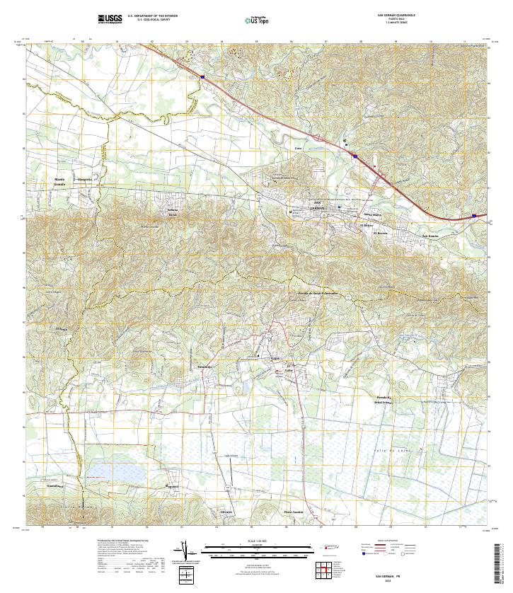
2013 San German
San Germán Municipio, PR
2018 Rosario
San Germán Municipio, PR
2018 San German
San Germán Municipio, PR
2024 Rosario
San Germán Municipio, PR
2024 San German
San Germán Municipio, PR
Featured Locations
- Sector Los Martinel, Las Marías
- Sector Punto Cubano, Hormigueros
- Urb. Mansiones La Monserrate, Hormigueros
- Sector Coquí, Mayagüez
- Sector Leclerc, Mayagüez