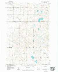
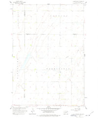
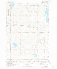
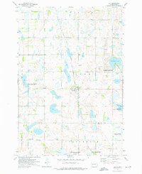
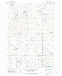
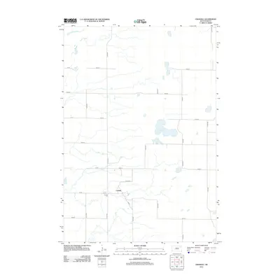
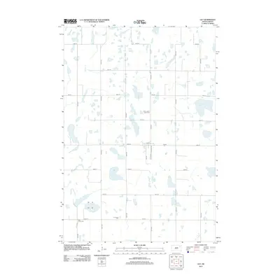
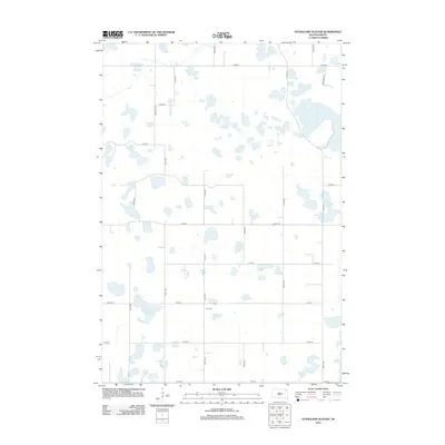
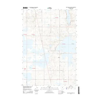
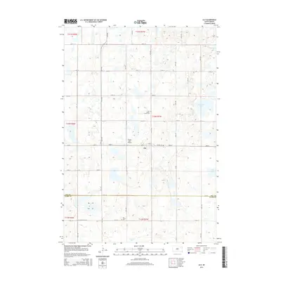
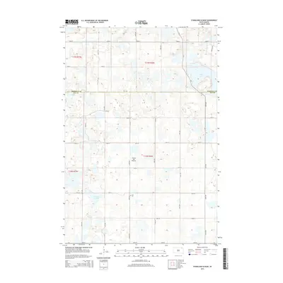
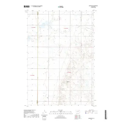
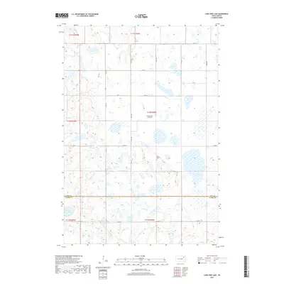
1958 Map of Rose Hill Cemetery
USGS Topo · Published 1994About this map
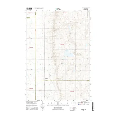
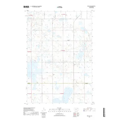
Glacial prairie potholes and scattered wetlands define the landscape of Day County in this late 1950s survey. The map documents a rural community structure organized around numbered country schools and local parishes, such as Highlands Ch and Falnes Ch. The boundary between Marshall Co Day Co runs through the northern portion of the sheet, dividing the townships of Hickman, Sisseton, and Independence. Genealogists will find particular value in the placement of small community landmarks like Rose Hill Cem and Hanson Cem, alongside a network of unpaved roads and section lines. The presence of Jandahl Sch and several numbered schoolhouses—including School No 204 and School No 226—illustrates the localized educational system of South Dakota's mid-century farming frontier.
Find a feature on this map
19 named features on this map. Tap any name to fly to it.
Don’t see what you’re looking for? This feature index may not catch every label — zoom into the map to look around manually.
Map Details
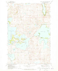
Editions of this 1958 Rose Hill Cemetery Map
2 editions found
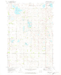
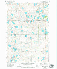
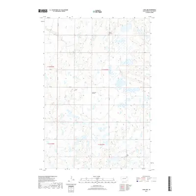
Historical Maps of Marshall County Through Time
80 maps found
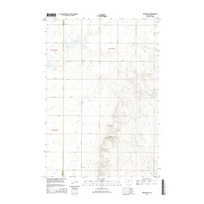
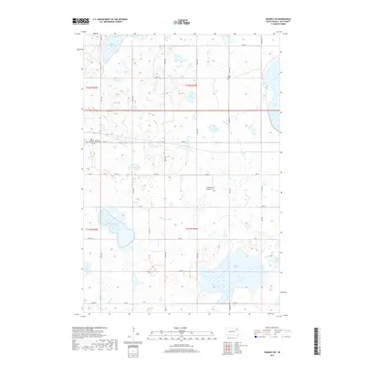
1958 Andover SW
Day County, SD
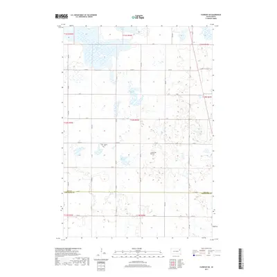
1958 Crandall
Day County, SD
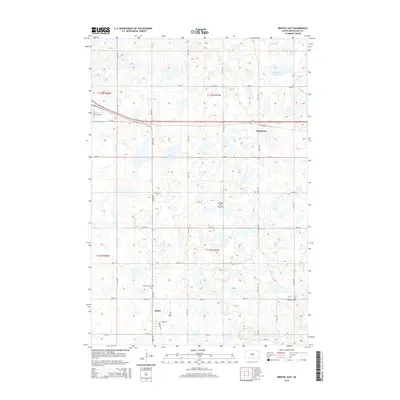
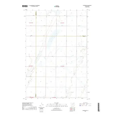
1958 Langford SW
Day County, SD
1958 Rose Hill Cemetery
Day County, SD
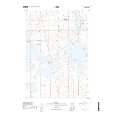
1970 Enemy Swim Lake West
Day County, SD
1970 Florence NE
Day County, SD
1970 Stangland Slough
Day County, SD
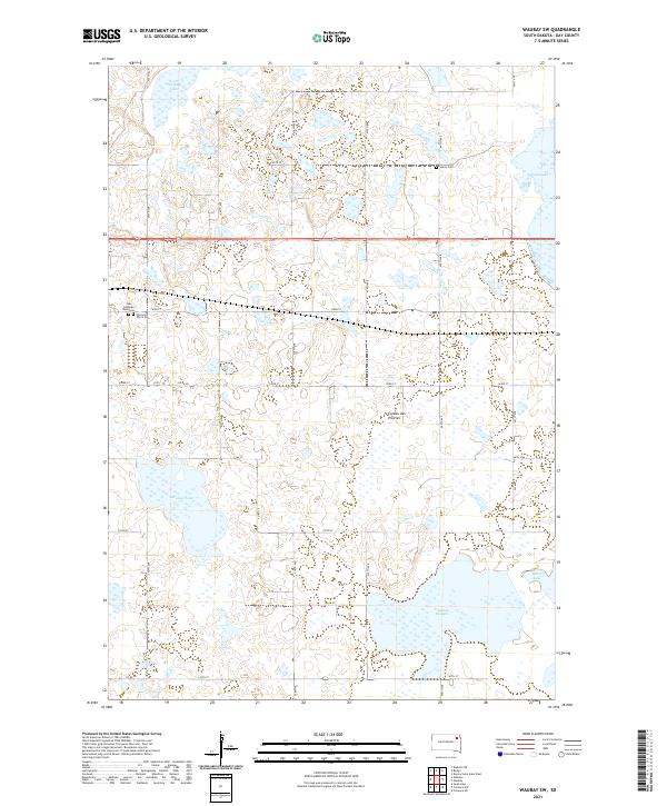
1970 Waubay SW
Day County, SD
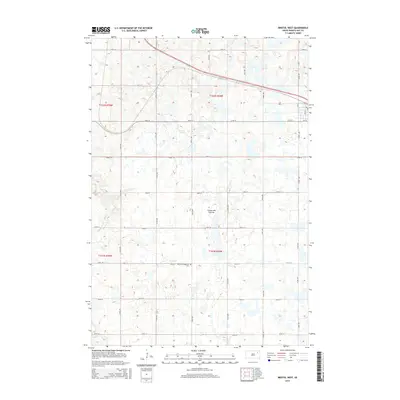
1973 Bristol East
Day County, SD
1973 Bristol West
Day County, SD
1973 Florence NW
Day County, SD
1973 Lily
Day County, SD
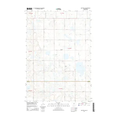
1973 Lone Tree Lake
Day County, SD
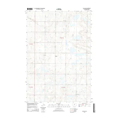
1973 Lynn Lake
Day County, SD
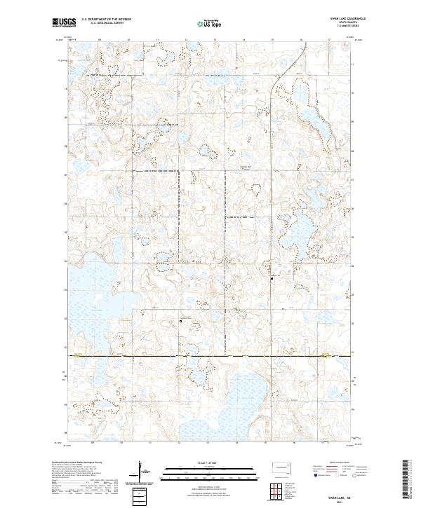
1973 Swan Lake
Day County, SD
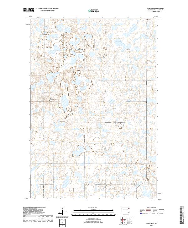
1973 Webster NE
Day County, SD
2012 Andover SW
Day County, SD
2012 Bristol East
Day County, SD
2012 Bristol West
Day County, SD
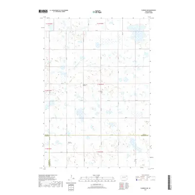
2012 Crandall
Day County, SD

2012 Enemy Swim Lake West
Day County, SD
2012 Florence NE
Day County, SD
2012 Florence NW
Day County, SD
2012 Langford SW
Day County, SD
2012 Lily
Day County, SD
2012 Lone Tree Lake
Day County, SD
2012 Lynn Lake
Day County, SD
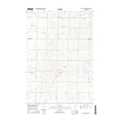
2012 Rose Hill Cemetery
Day County, SD
2012 Stangland Slough
Day County, SD
2012 Swan Lake
Day County, SD
2012 Waubay SW
Day County, SD
2012 Webster NE
Day County, SD
2015 Andover SW
Day County, SD
2015 Bristol East
Day County, SD
2015 Bristol West
Day County, SD
2015 Crandall
Day County, SD
2015 Enemy Swim Lake West
Day County, SD
2015 Florence NE
Day County, SD
2015 Florence NW
Day County, SD
2015 Langford SW
Day County, SD
2015 Lily
Day County, SD
2015 Lone Tree Lake
Day County, SD
2015 Lynn Lake
Day County, SD
2015 Rose Hill Cemetery
Day County, SD
2015 Stangland Slough
Day County, SD
2015 Swan Lake
Day County, SD
2015 Waubay SW
Day County, SD
2015 Webster NE
Day County, SD
2017 Andover SW
Day County, SD
2017 Bristol East
Day County, SD
2017 Bristol West
Day County, SD
2017 Crandall
Day County, SD
2017 Enemy Swim Lake West
Day County, SD
2017 Florence NE
Day County, SD
2017 Florence NW
Day County, SD
2017 Langford SW
Day County, SD

2017 Lily
Day County, SD
2017 Lone Tree Lake
Day County, SD
2017 Lynn Lake
Day County, SD
2017 Rose Hill Cemetery
Day County, SD
2017 Stangland Slough
Day County, SD
2017 Swan Lake
Day County, SD
2017 Waubay SW
Day County, SD
2017 Webster NE
Day County, SD
2021 Andover SW
Day County, SD
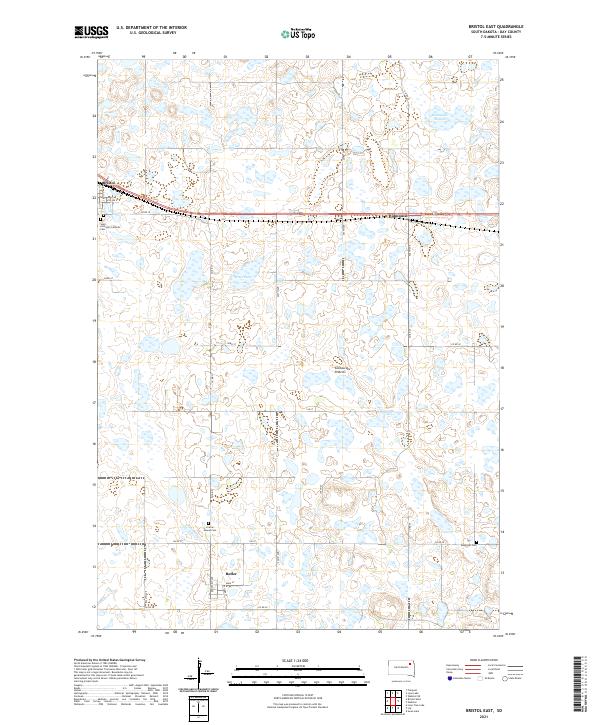
2021 Bristol East
Day County, SD
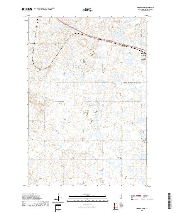
2021 Bristol West
Day County, SD
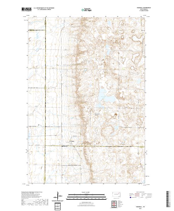
2021 Crandall
Day County, SD
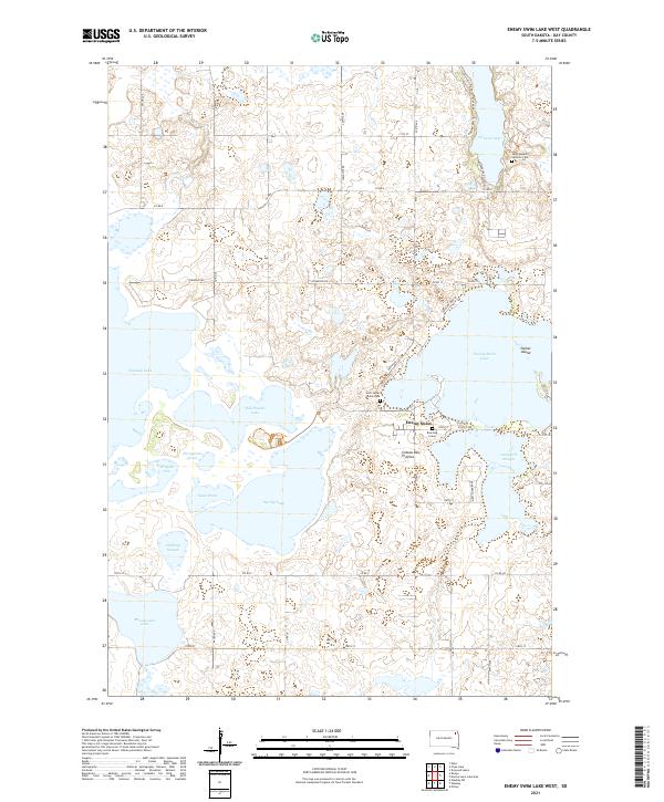
2021 Enemy Swim Lake West
Day County, SD
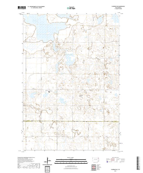
2021 Florence NE
Day County, SD
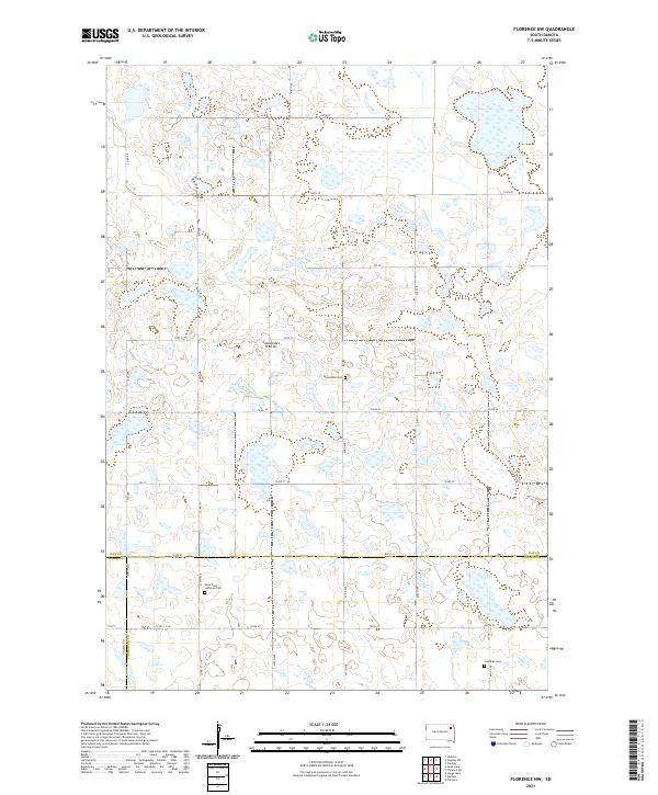
2021 Florence NW
Day County, SD
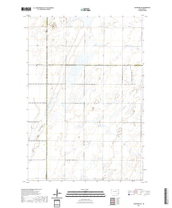
2021 Langford SW
Day County, SD
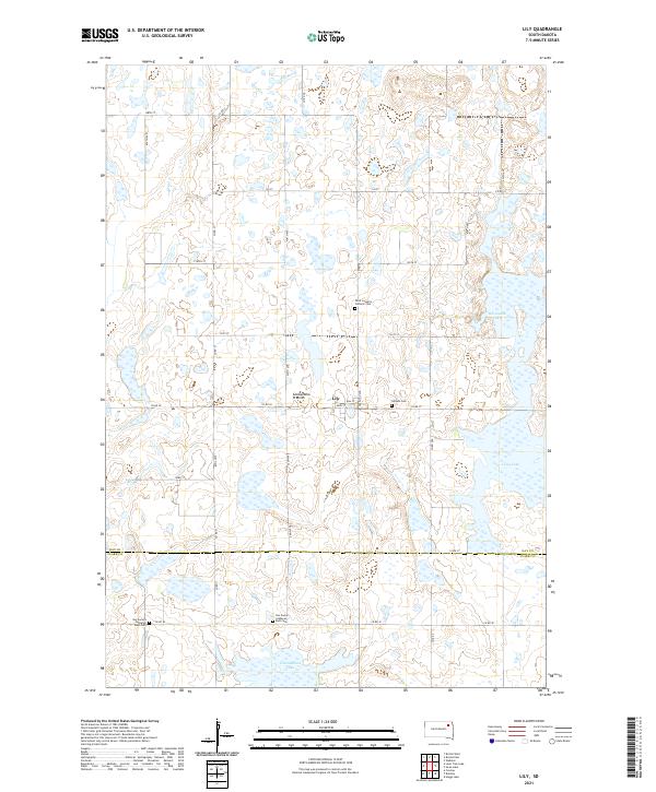
2021 Lily
Day County, SD
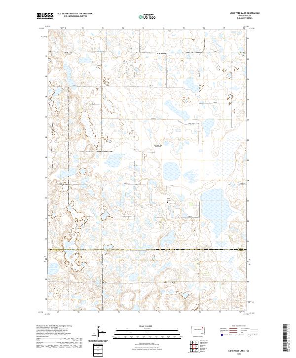
2021 Lone Tree Lake
Day County, SD
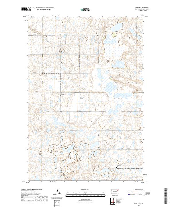
2021 Lynn Lake
Day County, SD
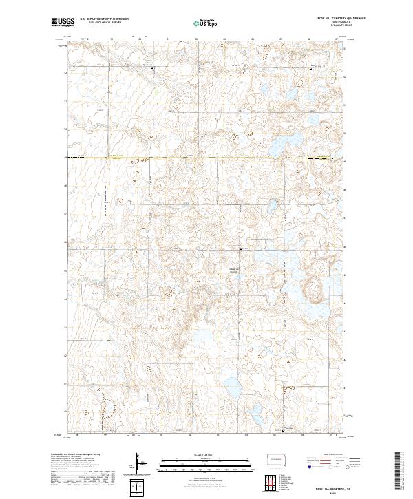
2021 Rose Hill Cemetery
Day County, SD
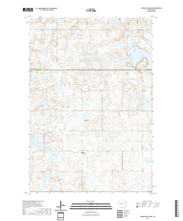
2021 Stangland Slough
Day County, SD
2021 Swan Lake
Day County, SD
2021 Waubay SW
Day County, SD
2021 Webster NE
Day County, SD