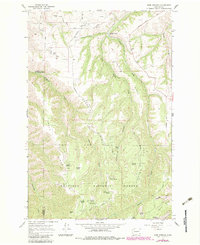
1967 Map of Rose Springs
USGS Topo · Published 1983About this map
Rose Springs serves as a central landmark within this portion of the Umatilla National Forest, where a network of springs and ridges defines the high-country landscape of southeastern Washington. The northern section of the map transitions into agricultural and ranching terrain near Columbia Center, supported by historic routes like Bosley Grade and Tatman Road. This area is characterized by deep drainages such as Sweeney Gulch and Dry Creek, which carve between prominent elevations like Tatman Mtn and Calloway Hill.
Find a feature on this map
43 named features on this map. Tap any name to fly to it.
Don’t see what you’re looking for? This feature index may not catch every label — zoom into the map to look around manually.
Map Details
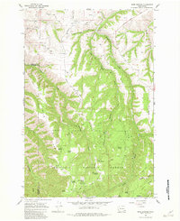
Editions of this 1967 Rose Springs Map
Other maps of this area

1937 · Pomeroy
USGS Topo · 1:96,000

1942 · Pomeroy
USGS Topo · 1:125,000

1943 · Peola
USGS Topo · 1:62,500

1943 · Saddle Butte
USGS Topo · 1:62,500

1946 · Saddle Butte
USGS Topo · 1:62,500

1946 · Peola
USGS Topo · 1:62,500

1955 · Pullman
USGS Topo · 1:250,000

1958 · Pullman
USGS Topo · 1:250,000

1967 · Rose Springs
USGS Topo · 1:24,000

1967 · Hopkins Ridge
USGS Topo · 1:24,000