
1901 Map of Rosebud
USGS Topo · Published 1901About this map
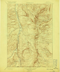
The Little Horn River valley serves as the primary corridor for transportation and settlement in this 1891-92 survey of southern Montana. The Burlington and Missouri River R. R. follows the river's winding path, connecting early settlements like Lodgegrass, Wyola, and Ionia. This railway infrastructure was critical for the local ranching economy, evidenced by the numerous named properties such as Sand Hills Ranch, Fortymile Ranch, and Yellow Weasel Ranch that dot the landscape.
Find a feature on this map
25 named features on this map. Tap any name to fly to it.
Don’t see what you’re looking for? This feature index may not catch every label — zoom into the map to look around manually.
Map Details
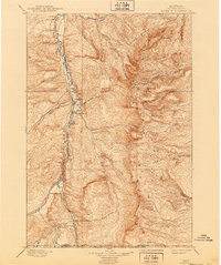
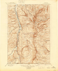
Editions of this 1901 Rosebud Map
4 editions found
Other maps of this area

1894 · Rosebud
USGS Topo · 1:125,000

1894 · St. Xavier
USGS Topo · 1:125,000

1894 · Fort Custer
USGS Topo · 1:125,000

1895 · Dayton
USGS Topo · 1:125,000

1898 · Bald Mountain
USGS Topo · 1:125,000

1901 · Dayton
USGS Topo · 1:125,000

1901 · St. Xavier
USGS Topo · 1:125,000

1901 · Bald Mountain
USGS Topo · 1:125,000

1909 · Sheridan
USGS Topo · 1:125,000

1911 · Sheridan
USGS Topo · 1:125,000