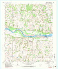
1965 Map of Rosedale
USGS Topo · Published 1983About this map
Rosedale serves as the central hub of this mid-century survey, situated just south of a significant bend in the Canadian River. The town is well-documented with its local institutions, including the Rosedale Sch and the Rosedale Cem, providing a detailed view of the community's social footprint. The landscape is heavily influenced by the petroleum industry, evidenced by the extensive Rosedale Oil Field and the Northeast Rosedale Oil Field, which punctuate the terrain with numerous wells and access points.
Find a feature on this map
26 named features on this map. Tap any name to fly to it.
Don’t see what you’re looking for? This feature index may not catch every label — zoom into the map to look around manually.
Map Details
Editions of this 1965 Rosedale Map
2 editions found
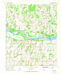
Other maps of this area

1893 · Norman
USGS Topo · 1:62,500

1898 · Purcell
USGS Topo · 1:125,000

1898 · Pauls Valley
USGS Topo · 1:125,000

1902 · Pauls Valley
USGS Topo · 1:125,000

1910 · McComb
USGS Topo · 1:62,500

1936 · Norman
USGS Topo · 1:62,500

1954 · Oklahoma City
USGS Topo · 1:250,000

1957 · Ardmore
USGS Topo · 1:250,000

1957 · Oklahoma City
USGS Topo · 1:250,000
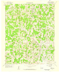
1958 · Tribbey
USGS Topo · 1:24,000