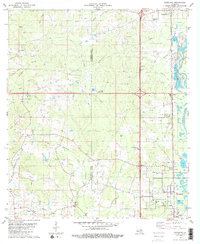
1981 Map of Roseland
USGS Topo · Published 1981About this map
The Tangipahoa River carves a winding path along the eastern edge of this landscape, anchoring a corridor of rail and road infrastructure that defined the region's growth. The Illinois Central Gulf railroad runs parallel to U.S. 51, connecting the established settlements of Tangipahoa, Fluker, Arcola, and Roseland. This alignment illustrates a classic developmental pattern where the rail line dictated the placement of town centers and industry, including several Gravel Pits and a large Fish Farm near the Fluker Lookout Tower.
Find a feature on this map
55 named features on this map. Tap any name to fly to it.
Don’t see what you’re looking for? This feature index may not catch every label — zoom into the map to look around manually.
Map Details
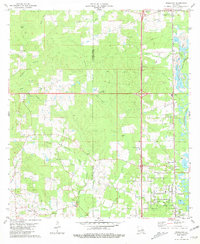
Editions of this 1981 Roseland Map
2 editions found
Other maps of this area

1940 · Spring Creek
USGS Topo · 1:31,680

1940 · Roseland
USGS Topo · 1:31,680

1942 · Roseland
USGS Topo · 1:31,680

1942 · Montpelier
USGS Topo · 1:31,680

1942 · Liverpool
USGS Topo · 1:31,680

1942 · Loranger
USGS Topo · 1:31,680

1949 · Bolivar
USGS Topo · 1:31,680

1949 · Amite
USGS Topo · 1:31,680

1950 · Kentwood
USGS Topo · 1:31,680

1950 · Greensburg
USGS Topo · 1:31,680