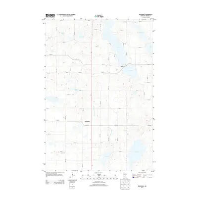
2013 Map of Rosendale
USGS Topo · Published 2013About this map
Glacial lake basins and organized drainage systems define this section of Meeker County, where the historic crossroads of Acton and Rosendale anchor a landscape of mixed agriculture and water. The terrain is notably dominated by large water bodies such as King Lake and Long Lake, while the human imprint is marked by the rectilinear grid of township roads like Co Hwy-23 and 200th St. Genealogists and local historians will find the Immanuel Cem in the southwestern quadrant, a significant point of interest for tracing early families in the region. The map also illustrates the sophisticated water management of the era, showing the County Ditch Number Sixteen as it channelizes runoff between Belle Lake and Popple Lake, reflecting the long-standing efforts to reclaim and manage the prairie wetlands for productive use.
Find a feature on this map
35 named features on this map. Tap any name to fly to it.
Don’t see what you’re looking for? This feature index may not catch every label — zoom into the map to look around manually.
Map Details
Editions of this 2013 Rosendale Map
This is the sole edition of this map. No revisions or reprints were ever made.
Other maps of this area

1953 · New Ulm
USGS Topo · 1:250,000

1953 · Saint Cloud
USGS Topo · 1:250,000

1956 · Atwater
USGS Topo · 1:62,500

1957 · Saint Cloud
USGS Topo · 1:250,000

1957 · New Ulm
USGS Topo · 1:250,000

1957 · Olivia
USGS Topo · 1:62,500

1958 · New Ulm
USGS Topo · 1:250,000

1958 · Saint Cloud
USGS Topo · 1:250,000

1967 · New Ulm
USGS Topo · 1:250,000

1967 · Grove City
USGS Topo · 1:24,000