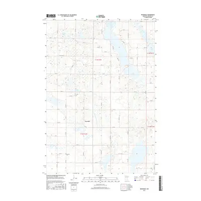
2016 Map of Rosendale
USGS Topo · Published 2016About this map
Rosendale stands at the center of this 2016 survey, a small settlement surrounded by the characteristic prairie pothole landscape of central Minnesota. The region is defined by a complex network of wetlands and small water bodies, including Daxton Lake, Popple Lake, and Thoen Lake. These natural features are integrated into a systematic drainage and transport grid, evidenced by County Ditch Number Sixteen and an extensive network of rural roads like Co Rd 28 and Co St Aid Hwy 32. For those researching local history or genealogy, the presence of the Immanuel Cem in the southern portion of the map provides a specific point of interest for family records. The map illustrates how late-modern agricultural land management, visible through the ditching and road systems, has shaped the drainage basin of Belle Cr.
Find a feature on this map
49 named features on this map. Tap any name to fly to it.
Don’t see what you’re looking for? This feature index may not catch every label — zoom into the map to look around manually.
Map Details
Editions of this 2016 Rosendale Map
This is the sole edition of this map. No revisions or reprints were ever made.
Other maps of this area

1953 · New Ulm
USGS Topo · 1:250,000

1953 · Saint Cloud
USGS Topo · 1:250,000

1956 · Atwater
USGS Topo · 1:62,500

1957 · Saint Cloud
USGS Topo · 1:250,000

1957 · New Ulm
USGS Topo · 1:250,000

1957 · Olivia
USGS Topo · 1:62,500

1958 · New Ulm
USGS Topo · 1:250,000

1958 · Saint Cloud
USGS Topo · 1:250,000

1967 · New Ulm
USGS Topo · 1:250,000

1967 · Grove City
USGS Topo · 1:24,000